Seattle rolled into Thursday, May 14 under a mostly cloudy, cool sky, with Boeing Field checking in around 52°F and plenty of humidity in the air. South winds have been gusting near 30 mph in spots this morning, kicking up some blustery pockets around the city before conditions ease a bit toward midday.
Afternoon Rain Chance And Gusty South Winds
According to the National Weather Service Seattle, a chance of light rain develops this afternoon on Thursday, May 14, mainly after about 2 p.m., with a high near 61°F and temperatures slipping into the upper 50s by late afternoon. Winds will be out of the south-southwest around 7-13 mph with gusts at times, so expect passing bands of light showers and some patchy wet roads during the evening commute.
Friday And Saturday: Cooler And Showery
Friday, May 15 will feel noticeably cooler with a high near 55°F and a good chance of showers, and Saturday, May 16 is on track to be even wetter with showers and thunderstorms likely and highs near 56°F. Mountain snow levels drop to around 3,500 feet by Saturday, with a few inches of snow possible at Stevens Pass, White Pass and around Mount Rainier, so weekend mountain travel plans should factor in snow and sloppy road conditions.
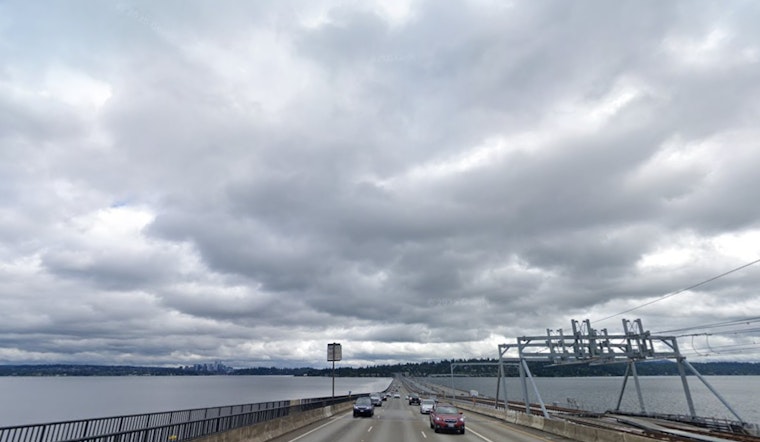
What This Means For Your Commute
Keep an umbrella and a wind jacket close for downtown and waterfront travel this afternoon, since exposed bridges and bike routes could feel especially gusty during the stronger south winds. Mariners should note seas rising to 7-9 feet tonight and into the weekend, and there are currently no watches or warnings in effect for the city.


