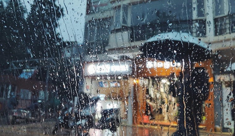
Seattle is in for a chilly spring shake-up on Friday, May 15, with mostly cloudy skies and temperatures starting around 48°F and only climbing to about 53°F in the afternoon. Showers will build through the day and could evolve into afternoon thunderstorms, while south-southwest winds strengthen into the teens with gusts up to about 24 mph, making it feel cooler than a typical mid-May day.
Afternoon Showers And Thunder
Light rain is possible between 9 a.m. and 11 a.m., followed by a better shot at showers and thunderstorms through the midday and afternoon on Friday, May 15. Rainfall amounts Friday should stay on the lighter side, generally under a tenth of an inch, although Saturday's steadier rounds could deliver a few tenths of an inch in some neighborhoods. Overnight lows Friday will dip into the mid-40s before nudging up slightly on Saturday morning. According to the National Weather Service, this unsettled pattern is expected to hang on into Saturday night.
Marine And Mountain Impacts
Puget Sound and nearby waters will be rough, with nearshore seas rising to 7–9 feet and outer waters up to 9–12 feet. A Small Craft Advisory is in effect for exposed areas, and small boats are urged to stay out of open waters. South-southwest winds around 13–18 mph, with gusts into the mid-20s, will make ferry rides and exposed shoreline commutes breezy and occasionally bumpy.
Snow levels will fall to roughly 3,000–3,500 feet, so a few inches of snow are possible at Stevens Pass and several inches above Paradise on Mount Rainier through Saturday. Boat operators and anyone planning mountain travel should keep a close eye on conditions and consider delaying nonessential trips.
Commute And Travel Notes
Drivers should be ready for wet streets and gusty crosswinds, with high-profile vehicles feeling it most, and should allow extra time for ferry or airport travel on Friday, May 15. Sea-Tac and Boeing Field could see low clouds and brief visibility reductions under heavier showers, so travelers should check airline status if flying and keep rain gear close.
For the latest on ferry service and mountain road conditions, travelers should consult Washington State Ferries and WSDOT before heading out.
We ran a small-craft advisory update on May 10, but this Friday forecast features stronger gusts, a higher chance of thunder, and lower mountain snow levels. See our earlier May 10 forecast for background.


