Las Vegas woke up clear and cool on Tuesday, May 5, 2026, with the official thermometer near 57°F. The quiet morning, however, is just the warmup act. A closed low sliding inland is set to kick up gusty south-southwest winds today, with a small chance of spotty showers or isolated thunderstorms over the higher terrain. By midweek, a strong ridge rebuilds overhead, temperatures spike, and triple-digit heat becomes a real contender early next week.
Afternoon Gusts and Spotty Showers
South-southwest winds will strengthen through the afternoon, with sustained speeds in the teens and gusts into the 20s to 30s mph across more exposed parts of the valley. Stronger thunderstorm outflows could briefly push localized gusts above 40 mph. Scattered showers and a few isolated thunderstorms are most likely over the Spring Mountains and other higher elevations, while most valley neighborhoods will see little more than a brief, light shower if they see any rain at all.
Once this system moves out, ridging builds in and high temperatures climb into the 80s and 90s later this week, around 85°F on Wednesday, May 6, 2026, 91°F on Thursday, May 7, and near 99°F from Friday, May 8, through Sunday, May 10. There is about a 30% chance of hitting 100°F on Sunday and roughly a 75% chance on Monday, May 11, 2026. According to the National Weather Service, Heat Risk climbs to Moderate (Level 2) for desert valleys from Friday through Monday.
How to Prepare
Shift strenuous outdoor work to the morning or evening hours, secure loose patio furniture and other items before the windiest part of the day, and keep water close by during the hottest stretches. Older adults, people with health conditions, and outdoor workers should line up cool indoor options now and make sure air conditioning is in working order before the heat settles in.
Clark County keeps a list of cooling stations and heat resources for residents who need a safe place to cool off, with details on locations and hours.
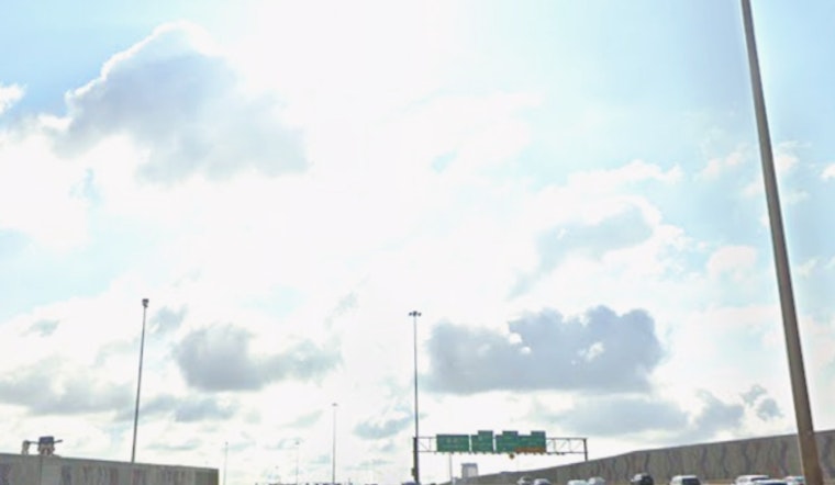
What to Expect on the Roads
Drivers and cyclists should plan on blustery crosswinds this afternoon along exposed stretches of I-15, US-95 and Boulder Highway, where high-profile vehicles in particular may feel the push. Local flights may bounce through some turbulence from the gusts, though major delays are not expected at this point.
Anyone with outdoor plans from late week into early next week should keep checking the forecast as the wind fades and the heat takes center stage.


