Baltimore is getting a classic early-summer teaser today, with comfortable sunshine this morning and a quick climb into the upper 80s and near 90°F by midafternoon. Temperatures started the day in the low 70s under mostly clear skies, and light northwest winds around 5 to 6 mph are keeping humidity lower than earlier this week, so the heat should feel manageable for quick trips outside. The quiet, hot setup is the opening act for a far rowdier tomorrow, when a line of showers and thunderstorms is expected to rumble through the region.
Afternoon Outlook
The hottest stretch will run roughly from 2 to 6 p.m., with highs near 90°F for most of the city. Inner-core neighborhoods and heavily paved areas will run a bit hotter. Dew points will slip into the upper 50s to low 60s, which takes some of the edge off compared with the muggier days earlier in the week. Still, anyone tackling yard work, a run, or a long dog walk should stay hydrated and skip the peak midday grind if possible. Light northwest breezes should keep the evening on the pleasant side once the sun starts dropping.
Severe Threat Sunday
Sunday is a different story. Moist air will surge back in on a southerly flow, and an approaching front is expected to fire up showers and thunderstorms from around midday into the afternoon and evening. According to the National Weather Service Baltimore/Washington, storm chances will peak Sunday afternoon with widespread activity possible. Forecasters note that the Storm Prediction Center has bumped up wind probabilities for the area and that some storms could bring damaging wind gusts, large hail, frequent lightning, and locally heavy rain. Timing and exact track are still a bit fuzzy, so anyone with outdoor plans should have a Plan B ready and be prepared to head inside quickly if thunder starts up.
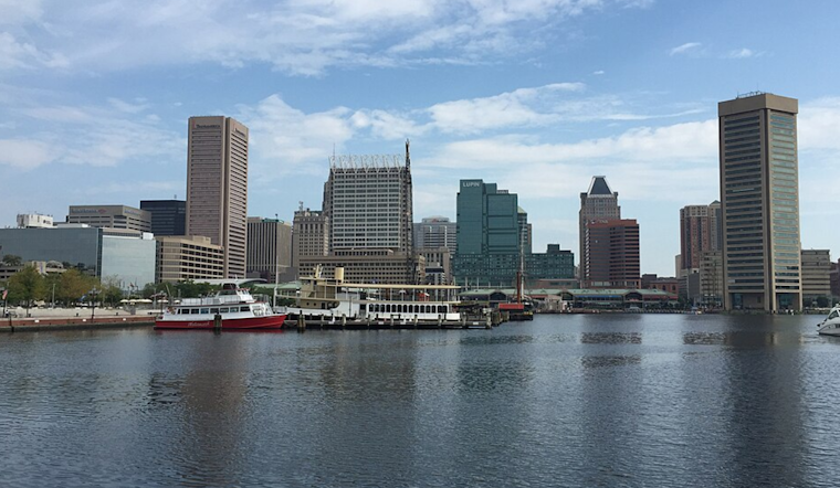
Boaters And Weekend Plans
Boaters will want to keep a close eye on the sky Sunday. Late morning through late evening could feature choppy conditions and possible small-craft advisories, and any thunderstorms that move over open water may produce sudden, strong gusts. If you are planning time on the water, consider postponing or hugging the shoreline, and check the latest forecast before you launch. On land, it is smart to front-load strenuous chores into the morning or shift them to the evening and monitor updates if you expect to be outside during the Sunday afternoon bullseye.
Heat Relief Resources
If the heat ramps back up later in the week or a Code Red is issued, Baltimore will activate cooling centers around the city with air conditioning and water. For locations and hours, call 311 or visit the Baltimore City Health Department. The city also provides transportation assistance for seniors and residents with mobility challenges. Check in on vulnerable neighbors, keep pets out of the sun and off hot pavement, and avoid heavy outdoor labor during the peak afternoon heat.
We first flagged this warm stretch and the potential for late-week storms earlier this month, for background, see our look at brutal heat and rush-hour storms. We will post updates if watches or warnings are issued and as the timing of Sunday’s storms comes into sharper focus.


