Baltimore woke up to muggy mid-70s on Sunday morning, June 14, 2026, and is marching straight toward a hot, humid afternoon with a high near 95°F. Late-afternoon showers and thunderstorms are possible, and any stronger storms could bring damaging wind gusts and brief, heavy downpours. Keep those barbecues and park plans flexible and have an indoor backup if you will be out this afternoon.
Afternoon Storms Could Pack Damaging Winds
Thunderstorms are expected to develop this afternoon, with the main window from mid-afternoon into the evening. According to the National Weather Service, damaging wind gusts as high as 60 to 70 mph are possible in the strongest cells. The point forecast calls for south winds around 3 to 15 mph with gusts near 24 mph, a daytime 30% chance of showers that climbs to about 70% overnight, and new rainfall totals generally under half an inch for most spots.
Storm coverage should be scattered, so one neighborhood could get a fast, intense downpour with frequent lightning while a few miles away, it stays mostly dry. Keep an eye on local watches and warnings this afternoon in case the timing or severity shifts.
How To Handle The Heat And The Storm Threat
Plan for the heat this morning and early afternoon: drink water, grab shade whenever you can, and skip long stretches of hard outdoor work during peak temperatures. Baltimore City opens cooling centers during Code Red alerts and provides maps and transportation help for seniors and vulnerable residents; call 311 to confirm which locations are open and when. If you are outside, secure light patio furniture and loose items, and be ready to head indoors quickly at the first sign of lightning or a sudden burst of wind. For cooling-center locations and official guidance, check the Baltimore City Health Department.
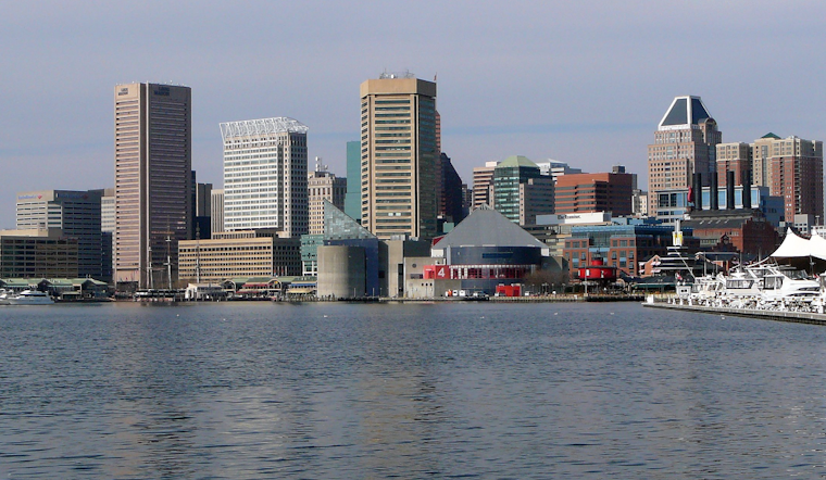
Boaters And Commuters On Alert
Small craft advisories are in effect for portions of the Chesapeake as southerly winds pick up this afternoon, so mariners should stay off the water if storms move in and make sure loose gear is secured. On the roads, any brief heavy rain can cut visibility and turn bridges and overpasses slick, so slow down and avoid standing water.
Winds turn to the northwest tonight behind the front, bringing in cooler, drier air and setting up a much more comfortable Monday with highs in the low 80s. Before you head out on the bay or hit the highway, check the latest marine and hazard updates from the National Weather Service.


