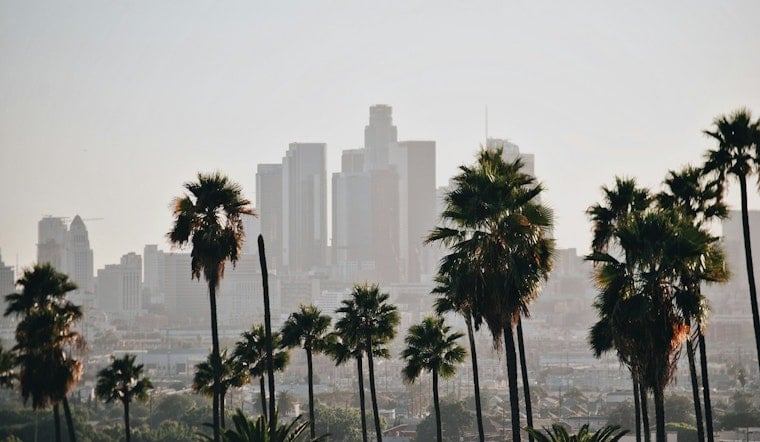
Downtown Los Angeles rolled into Thursday, June 18, 2026, under a thick marine layer and temperatures in the low 60s, with patchy drizzle hanging on through the morning and a top temperature around 74°F expected this afternoon. Clearing near the coast will be sluggish, so plenty of beaches and Westside neighborhoods may stay socked in under low clouds for much of the day.
Morning Fog And Drizzle
Patchy drizzle is most likely before 11 a.m., with near-shore highs stuck in the low to mid 60s while the valleys sneak into the low 70s. A roughly 2,500-foot-deep marine layer is keeping low clouds parked over the basin and foothills and could squeeze out some light drizzle in sheltered spots. South-southwest winds should hover around 5 to 10 mph, with stronger sea breezes near the coast, and forecasters say any clearing will be on the slow side. Check the full forecast from the National Weather Service Los Angeles/Oxnard.
Beach Hazards And Juneteenth Plans
A Beach Hazard Statement is in effect through Thursday evening for south-facing beaches, where a long-period south-to-southwest swell will keep surf in the 3 to 6 foot range and raise the odds of sneaker waves. High tides are expected to stay below about 7.0 feet MLLW, which lowers the coastal flooding risk, but lifeguards still recommend steering clear of rocks and jetties. If your Juneteenth plans are set for Friday, June 19, bank on cool, gray mornings near the water with friendlier conditions by afternoon; for background see foggy downtown and sneaker waves.
Winds, Commute And Events
Stronger-than-normal sea breezes are likely to push inland this afternoon and evening, and some valleys and foothills could flirt with near-advisory gusts. That sets up a tale of two commutes: coastal routes may be foggy and slow in the morning, while inland drives get a steady breeze later in the day. Event organizers and attendees should prep for cool, damp mornings and breezy afternoons during weekend gatherings.
Weekend Outlook
The cool, marine-layer pattern holds through Saturday, with lows in the upper 50s and highs in the mid 70s, before a warmer trend returns by Tuesday that should lift valley highs into the low 80s. Friday night looks breezy with patchy fog after 11 p.m. and a low near 58°F, while Saturday should finally deliver more afternoon sunshine. If you have outdoor plans lined up for later next week, it is worth checking back in on the forecast.
Bottom line: bring layers for those foggy mornings, expect better beach weather in the afternoons, and check lifeguard notices and National Weather Service updates before heading to the coast. Give yourself extra time for the morning drive and take it seriously around surf-swept rocks and jetties.


