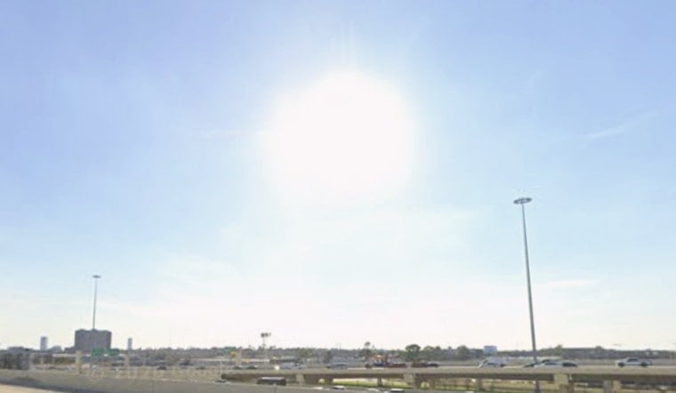
Houston woke up Monday, June 22, 2026, to muggy, partly cloudy skies and temperatures already near 81°F, with the humidity making it feel heavier than the numbers suggest. The afternoon will crank things up again, with highs near 92°F and overnight lows barely dipping below 80°F, so it will not feel much cooler after dark.
Hot, Sticky Forecast This Week
Highs will climb into the low 90s Monday, then into the mid 90s by Tuesday and Wednesday, with heat index values potentially hitting 105–107°F during the hottest parts of the afternoon. Overnight lows around 77–80°F will offer little nighttime relief across most of the city. Rain chances stay low through the week, according to the NWS Houston/Galveston.
Afternoon Winds And Coastal Hazards
Southerly winds around 10 mph, with gusts near 20 mph in the afternoon, will bump up the surf and stir up nearshore waters. A Small Craft Advisory is in effect through 1 p.m. CDT Monday, and area beaches are under a High Rip Current Risk into the evening. Swimmers and small-boat operators should take it seriously, heed posted beach flags, avoid going into the water alone, and secure loose gear on smaller vessels.
Heat Relief And What To Do
The city and its partners have opened a network of "Beat the Heat" cooling centers across Houston for anyone who needs air-conditioned relief. Check Reliant for locations and hours or call 3-1-1 for local information. If you have to be outside, aim for early morning or late evening, drink plenty of water, and keep an eye on older neighbors and people who rely on medication. Forecasters will continue to monitor the pattern and marine notices, and updates will follow if conditions change.


