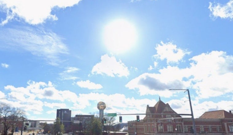
Knoxville woke up to a calm, crisp start Tuesday morning, sitting at about 61°F as of 6:15 a.m. EDT on June 16, 2026. Temperatures are headed for the low 80s with light west winds, so it will feel comfortably dry this afternoon before the mugginess starts to creep back later in the week.
What To Expect Today And This Week
Tuesday stays on the pleasant side, with partly sunny skies, a high near 82°F, and west winds running 0 to 10 mph. Tonight will be partly cloudy with a low around 64°F, a pretty easy night for sleeping with the windows cracked.
By Wednesday, June 17, 2026, humidity starts climbing and so do the temperatures, with highs pushing into the upper 80s. According to the National Weather Service in Morristown, an approaching system will boost shower and thunderstorm chances later in the week.
Thursday Storms - Timing And Impacts
Showers are possible early Thursday, June 18, 2026, but the main window for showers and thunderstorms runs from mid-morning into the afternoon and continues into Thursday night. Southwest winds are forecast around 15 to 20 mph with gusts that could hit 35 mph, and forecasters caution that some storms could be strong to severe. Damaging straight-line winds and localized flooding are the primary concerns.
If you have outdoor plans lined up for Thursday or Juneteenth events on Friday, it is worth thinking about shifting them earlier in the day or moving them indoors and keeping close tabs on weather alerts.
Bottom Line
Enjoy the calm, mild setup through Wednesday, but take a moment to review your plans for Thursday in case storms ramp up. For context on how quickly conditions can worsen, check out our recent storm impacts. Stay tuned to local officials and the National Weather Service forecast page for any watches or warnings as the system approaches.


