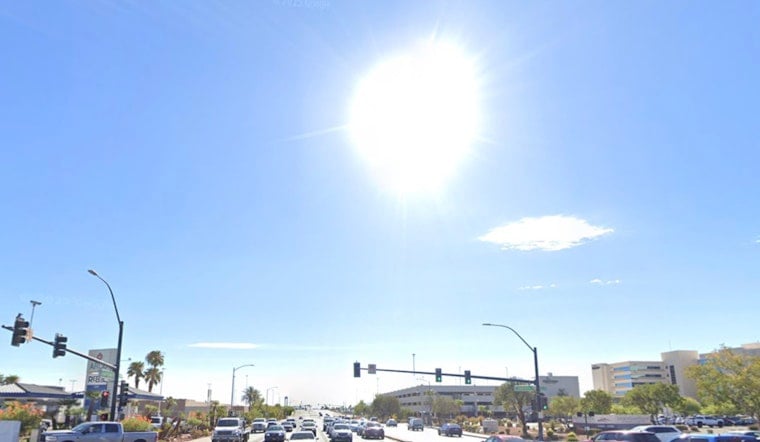
Las Vegas woke up Thursday, June 11, to clear skies and a toasty start, with morning readings already near 86°F. By this afternoon, temperatures are expected to climb into the triple digits, topping out around 105°F, and the heat only gets more intense Friday, June 12, when the high is forecast to reach about 109°F.
A strong upper-level ridge is parked over the region and is set to keep the valley running roughly 5 to 10 degrees hotter than normal through next week. That spells prolonged stress for anyone working or exercising outside, with some desert spots facing a higher risk of heat-related issues Friday and Saturday. The National Weather Service in Las Vegas is calling for a high near 105°F today and around 109°F Friday, and it notes a modest chance for increased "Major HeatRisk" in some desert valleys, according to NWS Las Vegas.
Afternoon Peak And Sizzling Nights
The most punishing heat will hit from mid to late afternoon, with triple digits likely by early afternoon across much of the valley. Winds should stay mostly light from the east to southeast, although some exposed areas could see gusts around 15 to 25 mph at times on Friday. Overnight, do not expect much of a cooldown, with lows only dipping into the low 80s.
Weekend Storm Chances
Moisture lifting north from a remnant disturbance over Baja will bump up humidity a bit and bring a slight chance of showers and isolated thunderstorms Saturday and Sunday, mainly over southern Clark, eastern Lincoln and Mohave counties. Any storms that do form are expected to be spotty and focused over higher terrain. Heavy rain is not likely, but dry lightning could occur and raise the local fire danger. The forecast discussion from NWS Las Vegas flags the weekend moisture and the small chance for lightning-driven fire starts.
Where To Cool Off
Clark County has opened daytime cooling stations across the valley. Before you head out, check the county list for exact locations and hours. For the full rundown of sites and schedules, see Clark County. If you need to be outside, carry plenty of water, avoid heavy exertion during the afternoon, and keep an eye on elderly neighbors, children and pets.
Try to schedule any strenuous outdoor chores for the cooler morning hours, and be ready for this hot pattern to stick around into next week, with highs likely creeping back toward 110°F by Tuesday or Wednesday. This outlook will be updated if the National Weather Service issues any watches or warnings for the valley.


