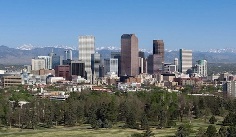
Denver started Tuesday under clear, crisp skies, with temperatures in the upper 50s at most observing sites. That cool comfort will not last. Hot, dry air is set to surge in through the day, driving afternoon highs into the low 90s and kicking up gusty southwest winds that could throw a wrench in outdoor plans. The plains east of I-25, in particular, should brace for a very windy, very dry afternoon and evening.
Fire Weather Risk
Critical fire weather is the main concern on Tuesday, June 9, especially across the eastern plains. The National Weather Service Denver/Boulder has issued a Red Flag Warning from noon to 9 p.m. MDT and a Fire Weather Watch for Wednesday, June 10. Humidity is expected to drop into the lower teens, which means any spark could spread quickly. Officials are urging people to avoid debris burning and to hold off on yard work that could create sparks during the windiest afternoon hours.
Afternoon Winds Pick Up
South-southwest winds will ramp up through the afternoon, blowing at roughly 6 to 20 mph with steady breezes and common gusts around 30 to 36 mph. In downslope-favored spots or near any passing showers, some localized gusts could jump to 45 to 60 mph. That is strong enough to send unsecured patio furniture flying, make driving high-profile vehicles tricky, and make it harder for firefighters to get a handle on any new starts. Residents are encouraged to tie down or bring in loose items and think twice before using outdoor power tools until the winds back off.
Local Impact And Cooling Options
Overnight temperatures will not fall much, and daytime highs will stay unseasonably warm, so anyone without solid air conditioning should plan on limited relief during the hottest part of the day. For local details on cooling centers and city resources, check our earlier Hoodline coverage in Denver on broil, and use 3-1-1 or official city channels if you need assistance.
Timeline And Outlook
A weak front sliding through late Tuesday night should shave a few degrees off daytime highs, with Thursday, June 11, expected to feel noticeably cooler with highs near 82°F. A better shot at showers and thunderstorms arrives late Saturday into Sunday, June 13 to 14, which should bring more meaningful relief into next week, so keep an eye on the latest forecasts if you have weekend outdoor plans.


.jpg)