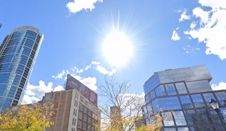
Philadelphia woke up Tuesday, June 30, under mostly cloudy skies and comfortable mid‑70s temperatures. Enjoy it while it lasts. A powerful heat dome is muscling into the region, and it is about to turn the city into a slow cooker through the holiday weekend.
What To Expect This Week
Today, Tuesday, June 30, skies are expected to turn sunnier with a high near 91°F. On Wednesday, July 1, the heat really starts to ramp up, with highs near 97°F and heat‑index values around 100–104°F. Thursday and Friday are forecast to push into the low 100s (roughly 103–104°F), with heat indices that could reach 105–110°F.
Overnight is not offering much of a break either. Lows are projected to stay in the mid‑70s to low‑80s, keeping homes and streets warm even after dark and limiting any real recovery from the daytime heat.
The National Weather Service's Mount Holly office has issued an Extreme Heat Warning from noon Wednesday, July 1 through 8 p.m. Saturday, July 4, flagging a multi‑day stretch of dangerous conditions, according to NWS Mount Holly.
Heat Impacts And Safety
Several days of intense heat paired with very warm nights significantly increase the risk of heat‑related illness, especially for older adults, young children, and anyone without reliable air conditioning. The city has activated cooling resources; residents can call 311 or the PCA Heatline at 215‑765‑9040 for cooling locations and health guidance.
Officials are urging everyone to drink extra fluids, avoid strenuous outdoor activity during the hottest parts of the day, and check in on neighbors who may be vulnerable. And in case it somehow still needs to be said, never leave people or pets in parked cars. For details on cooling centers and city programs, see guidance from the City of Philadelphia.
Holiday Weekend And Outdoor Plans
Fourth of July plans are going to have to share the stage with extreme heat and the chance for scattered afternoon or evening storms late in the week. Forecast discussions note the potential to challenge record highs on Thursday and Friday. Any thunderstorms that do pop could bring gusty winds and frequent lightning to parts of the region.
Event organizers might want to think about shaded setups, earlier morning starts, or later evening schedules and make sure plenty of water is available. Grilling is great; heat exhaustion is not.
Stay Informed
We broke down this setup earlier in the week; see our holiday heat blast coverage for background on how this pattern developed. Keep a close eye on updated forecasts, warnings, and advisories, and check in with the NWS and local authorities before heading out or making last‑minute changes to event plans.


