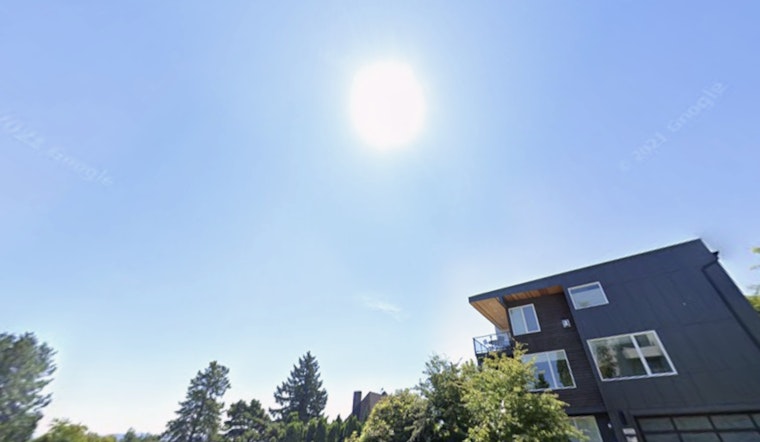
Seattle is heating up fast this Sunday, and the city is in for a hot one through Monday. Afternoon highs are expected to climb to around 86°F today and up to about 89°F on Monday, with only light cooling after dark. A Heat Advisory from the National Weather Service is in effect from 11 a.m. Sunday, June 14 through 5 a.m. Tuesday, June 16, covering Seattle and many nearby lowlands. People without air conditioning, older adults, young children and outdoor workers are urged to be extra cautious as nighttime lows are expected to struggle to drop below the low 60s.
Heat Advisory Details
The National Weather Service advisory calls for daytime highs in the mid 80s to near 90°F, along with overnight lows mostly in the 60s. That combination raises a moderate risk for heat-related illness, especially for people who cannot easily cool down. The advisory urges residents to drink plenty of fluids, stay in air-conditioned spaces when possible, avoid long stretches in direct sun and never leave children or pets in vehicles. It also recommends moving strenuous outdoor work to the early morning or evening when feasible and taking frequent rest breaks in shaded or cooler spots.
What To Expect This Week
Sunny, dry afternoons with light north to northwest winds will keep the region hot through Monday. Temperatures are expected to peak along the I-5 corridor and in interior valleys, while areas right along the shoreline should stay a bit cooler in the 70s. The ridge of high pressure is forecast to weaken on Tuesday, allowing onshore flow to bring in cooler, more seasonable highs by midweek. Tuesday’s high is expected to be in the mid 70s, with a return to low 80s possible later in the week. The National Weather Service notes that daily record highs at SeaTac and Olympia are possible, and that record-warm nighttime lows are likely in parts of the I-5 corridor. A brief marine push or a bit of light drizzle is possible Tuesday evening east of Puget Sound as the flow shifts.
Where To Cool Off
For those needing a cooled public space, you can dial 2-1-1 or search the WA 211 site to find cooling centers and emergency shelter options across King County. Libraries, community centers and some day-centers often operate as cooling sites during heat events, though you should confirm hours before heading out. Plan for extra transit time and bring water, since buses and other rides may be busier in the middle of the day as people seek relief.
Who Should Be Extra Careful
Older adults, young children, people with chronic health conditions and those taking certain medications face higher risk in this kind of heat. Employers and event organizers are urged to schedule frequent rest breaks in shaded or air-conditioned areas. Public health guidance also advises checking on neighbors who may not have cooling at home and avoiding long periods outdoors during the hottest part of the afternoon. If someone shows confusion, faints, has seizures or an extremely high body temperature, call 911 right away, as heat stroke is a medical emergency.
Takeaway
Shift outdoor activities to the morning or evening when you can, stay hydrated and have a backup cooling plan in case power or air conditioning fails. The most intense heat should start to ease from Tuesday into Wednesday as onshore flow returns, but this early-season heat should still be taken seriously. Check in on vulnerable neighbors, friends and family now, before the hottest stretch peaks.


