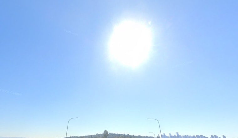
Seattle starts off cool but quickly turns to summer mode on Tuesday, June 2, 2026, as clear skies and sunshine drive afternoon highs into the low 80s. Expect temperatures near 83F in the city, with mid-to-upper 80s inland, while shoreline neighborhoods hang onto cooler readings thanks to the water. Winds stay light, setting the stage for a dry, bright afternoon that is tailor-made for errands or a quick outdoor reset.
Afternoon Heat And Planning
According to the National Weather Service, humidity drops into the low 20s in some inland spots, which means areas away from Puget Sound may not cool off especially well overnight. Temperatures are expected to peak in the mid to late afternoon, roughly between 3 and 6 p.m., so anyone sensitive to heat should dial back strenuous outdoor work and stay on top of hydration. If you rely on cooling centers or libraries, it is a good day to shift the heaviest tasks to morning or later in the evening.
Marine And Midweek Winds
The pattern flips by midweek as onshore flow kicks in. A Small Craft Advisory is in effect from 2 a.m. Wednesday, June 3, through 5 a.m. Thursday, June 4, for parts of the Strait of Juan de Fuca. Boaters and anyone heading out on early-morning trips should secure loose gear and double-check the latest forecast details; for background, see our earlier coverage in Seattle sizzles then shivers. Seas should generally stay below hazardous thresholds for larger vessels, but operators of smaller craft should plan for choppy, occasionally tricky conditions.
Weekend Showers And Thunderstorms Likely
Rain chances ramp up Friday night as a cool upper-level low slides over the region on Saturday. Forecast models keep most of the wet weather focused on late morning through afternoon, with showers and thunderstorms likely and a high near 61F. Most storms look brief, but a few could deliver heavy downpours or lightning, so keep a close watch on outdoor plans for Saturday. Conditions start to settle down again Sunday into Monday, with highs rebounding into the 60s and lower 70s.
What To Pack And Commute Notes
For today’s commute, look for dry roads and smooth driving conditions through the afternoon. Midweek, stronger onshore winds may make things a bit more complicated for marine traffic and bridge crossings. Keep sunscreen and a refillable water bottle handy for the heat, and check updated forecasts before you lock in any weekend outdoor plans.


