

























































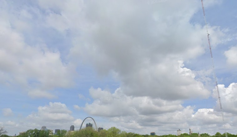
St. Louis woke up Saturday to a wall of muggy air, low 70s on the thermometer, and mist hanging over mostly cloudy streets. Scattered showers and a few thunderstorms may tag the late-morning commute, but most neighborhoods should dry out later in the day. The sticky start is just the undercard before a much hotter stretch that ramps up on Sunday.
Morning Showers, Then Humid Afternoon
Rain remains possible before mid-morning, with the best shot at spotty thunderstorms between about 7 a.m. and early afternoon. Coverage should thin out by late afternoon. As skies turn partly sunny, highs will climb to around 86°F with light southwest winds. An umbrella will not be a bad accessory for the morning drive, and brief downpours could leave some roads slick and slow.
Dangerous Heat Arrives Sunday
Once the front lifts north, rain chances shut down and the heat cranks up. Highs are expected to jump into the mid to upper 90s starting Sunday and hold there into next week, with warm nights stuck in the mid-70s offering little relief. With very humid air in place, heat index values could push into the 105 to 113°F range in parts of the metro, creating a serious health risk for anyone without cool, shaded spaces. The National Weather Service has posted an Extreme Heat Watch and Heat Advisory for much of the St. Louis area from Sunday afternoon through Thursday evening, urging residents to take the heat seriously, according to NWS St. Louis.
How To Stay Cool
Health officials recommend drinking plenty of water, skipping strenuous outdoor activity during the hottest part of the day, and spending time in air-conditioned spots when possible. Check on older relatives, young children, and neighbors, and move nonessential outdoor plans if you can, since overnight lows in the 70s will keep it feeling stuffy even after dark. For local cooling-center locations and hours, call 2-1-1 or see the city's list of cooling centers from the City of St. Louis.





