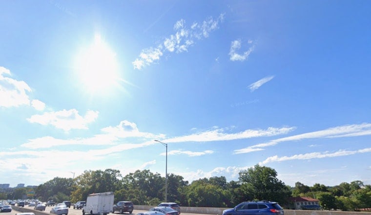
Washington, D.C., woke up to textbook summer weather on Saturday, June 13, 2026, with clear skies and a comfortable 72°F at Ronald Reagan National Airport. The day will stay mostly sunny and noticeably drier than the recent swampy stretch, though highs still climb into the upper 80s. Enjoy the break while it lasts, because Sunday, June 14, brings the heat back along with an afternoon storm threat that could turn gusty or even severe in spots.
Today: Sunny and Warm
Saturday stays mostly sunny, with a high near 89°F and a light northwest breeze around 5 to 7 mph. Lower humidity should make it feel more manageable, so it is a solid day for parks, patios, and errands. By evening, temperatures slide into the upper 60s to low 70s, giving the city a more comfortable finish. If you are outside during the midday peak, keep water close and take breaks in the shade.
Sunday: Storms Return, Some Could Be Severe
On Sunday, a frontal system pushes back into the region and flips the switch on storm chances. There is a 70% chance of showers and thunderstorms, most likely from mid- to late afternoon into early evening. A few storms could pack a punch with damaging straight-line winds, large hail, and frequent lightning. Gusts could reach about 22 mph, and brief heavy downpours could quickly drop a quarter to a half inch of rain in spots. For the latest timing details and any watches or warnings, check the National Weather Service Baltimore/Washington.
Boaters and Weekend Plans
Mariners, heads up: a Small Craft Advisory is expected on nearby waters Sunday, June 14, from 11 a.m. to 11 p.m. EDT, which means choppy waves and gusty winds on the Potomac and Chesapeake approaches. If you have outdoor plans or events Sunday afternoon, have a backup ready. Lightning, strong gusts, and quick downpours could force short-notice cancellations or send everyone scrambling indoors. For more on the heat and preparation tips from earlier in the weekend, see our heat advisory slams city.
Next Week
Once Sunday’s front moves through, cooler and drier air slides in to start the workweek. Highs on Monday and Tuesday should top out in the upper 70s to around 80, a noticeable break from recent heat and humidity. By Thursday, June 18, warm and muggy conditions are likely to creep back in, with another chance for strong to severe storms later in the week. If you are planning outdoor events beyond midweek, keep checking updated forecasts.
Safety Tips
When thunderstorms roll in, move to sturdy shelter right away and avoid open water, tall isolated trees, and metal structures. If you are on the road, slow down during sudden downpours and watch for hydroplaning on slick pavement. In the heat this weekend, look out for vulnerable neighbors, older adults, and those without reliable cooling, and never leave children or pets in parked vehicles. We will post updates if any watches, warnings, or advisories are issued for the metro area.


