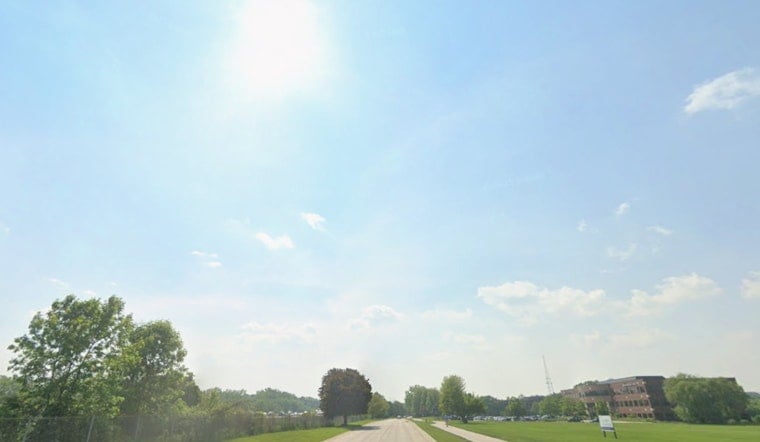
Milwaukee rolled into Tuesday under clear skies and that just-right early summer chill, with temperatures sitting in the mid-50s at General Mitchell Airport and some patchy fog clinging to low-lying river valleys. Sunshine and a light easterly lake breeze are on tap to nudge highs into the upper 60s, landing near 69°F this afternoon, with inland neighborhoods running a touch warmer.
Afternoon Temperatures And Breeze
Through the afternoon, look for generally light northeast winds around 5 mph and mostly dry conditions holding steady until tonight. Lakeshore spots will stay on the cooler side under the lake breeze, while inland areas sneak into the upper 60s, making for a pretty pleasant day before things turn more active.
Storms Late Tonight Into Wednesday
Showers and thunderstorms are expected to fire up late tonight and ramp into Wednesday, with the main window for widespread storms during the afternoon and evening. Some cells could muscle up into the strong to severe category, packing damaging wind gusts and hail, while brief heavy downpours may drop a few tenths of an inch to a half-inch of rain in spots. Forecasters are also flagging a strong warm-up early next week, with highs surging into the 90s by Monday and Tuesday and the potential to brush up against Heat Advisory thresholds. For full timing and updates, see the National Weather Service Milwaukee.
Impacts And Planning
Storms could slow down Wednesday afternoon and evening travel and trigger brief power outages in the strongest cells, so rain gear and a little extra time for any outdoor plans are smart calls. Boaters should check the lake forecast before heading out and think twice about overnight trips if thunderstorms are on the board. For background on the pattern and earlier forecasts, see our calm-before-the-blow breakdown.


