Tampa Bay woke up to another mostly clear, muggy start this morning, with temperatures holding near 77°F. Skies will turn partly sunny by afternoon and the high should climb to around 93°F, while light northeast winds keep waterfront neighborhoods a touch cooler than inland spots. The stickiest feel will hit in the midafternoon as humidity lingers. If you have outdoor plans, try to tackle any hard work early or late in the day and keep the water bottle close.
Afternoon Heat And Midweek Storm Risk
Today, Tuesday, June 9, highs are expected to top out near 93°F with only a small chance of rain, and tonight will turn mostly cloudy with a low near 77°F. On Wednesday, June 10, scattered showers and thunderstorms are expected to ramp up after about 1 p.m., with rain chances climbing to roughly 50 percent and heat-index values reaching as high as 100°F. Some of those storms could drop between a quarter and a half inch of rain. There are no watches or warnings in effect this morning, according to the National Weather Service Tampa Bay.
How To Stay Safe In The Heat
Hillsborough County is reminding residents to drink plenty of water, steer clear of heavy work during the peak heat, and keep an eye on vulnerable neighbors and pets. The county points out that a Heat Advisory is issued when the heat index hits 108°F, which is higher than what is in the forecast this week, but notes that spending hours in mid-90s heat can still trigger heat-related illness. For local tips and cooling options, visit the Hillsborough County heat-safety page.
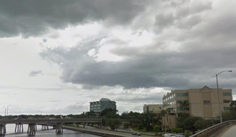
Commutes And Outdoor Plans
A few late-afternoon storms this week could briefly complicate the evening commute, especially on Wednesday, June 10. Any storm that pops up could bring a burst of heavy rain, lightning, and gusty winds, though coverage is expected to stay scattered rather than widespread. If you are heading out on the bay, keep an eye on conditions and be ready to return to shore if storms start building inland.


