

























































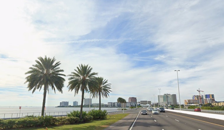
Tampa is waking up hot and sticky Monday, with clear skies, temperatures already in the low 80s, and humidity pushing it to feel several degrees warmer. Forecasters expect a high near 96°F today, with the heat index cranking up to around 108°F this afternoon. Scattered showers and thunderstorms are on tap after 1 p.m., with slow-moving downpours most likely inland.
Afternoon Storms And Heat
Scattered storms are expected to fire up after 1 p.m., with around a 40% chance of rain for the metro area. Stronger storms could drop a quarter to a half inch of rain. Winds will be light out of the northwest at about 1–8 mph, which means storms may linger and drop brief heavy downpours along with gusty, erratic winds near the stronger cells. For the latest timing, watches, and advisories, check the National Weather Service in Tampa Bay.
What This Means For Your Day
Try to schedule outdoor work and events for the morning and expect the most hazardous heat from midday through late afternoon. If you have to be outside, drink plenty of water, take frequent shade breaks, and skip heavy exertion during peak heat. The city has activated cooling options during recent heat spikes, so residents without air conditioning should check municipal resources and community listings before heading out. For local background on cooling sites and how they were used during earlier extreme heat, see Tampa sizzles under brutal heat advisory.
What To Expect This Week
The same steamy pattern looks locked in through the week, with daytime highs in the mid 90s and daily chances for afternoon and evening storms. Heat index values of 100–107°F are expected across much of the area. Keep an eye on forecast updates before making outdoor plans, especially for Independence Day fireworks and gatherings, via the National Weather Service in Tampa Bay.




