

























































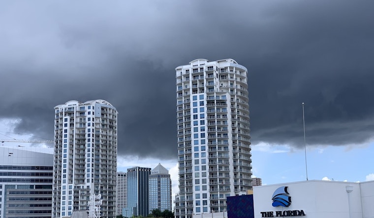
Tampa is starting Wednesday, June 3, on the sticky side, with muggy mid-70s and humidity that makes the air feel heavier than it looks. A batch of showers and thunderstorms is possible before about 10 a.m., then only a slight chance of a stray shower or storm into the afternoon. Highs should top out near 84°F. East-northeast winds will run 7 to 13 mph, with gusts up to roughly 21 mph.
Morning Commute and Short-Term Outlook
Scattered showers and isolated storms could briefly cut visibility during the morning commute, and quick-hitting downpours are possible even where total rainfall stays under a tenth of an inch. If you hear thunder or see lightning, move indoors and delay outdoor work until it passes. See this steam-bath forecast for background.
Storms Tonight and Marine Advisory
Forecasters say showers and storms will become more widespread later today and tonight, and the strongest cells could produce damaging wind gusts and frequent lightning. A Small Craft Advisory runs from 6 a.m. this morning through 2 a.m. Friday for Tampa Bay and nearby coastal waters, so small boats should stay off the water or seek safe harbor. For the latest official guidance, see the National Weather Service Tampa Bay.
Late-Week Outlook
Behind the front, drier air filters in late Wednesday into Thursday, bringing lower humidity and cooler nights in the upper 60s, with highs in the mid-80s on Thursday, June 4. The classic summer pattern returns over the weekend, with highs climbing into the low 90s by Saturday and Sunday and renewed afternoon storm chances by Sunday afternoon. We will post updates if any watches or warnings are issued.





