

























































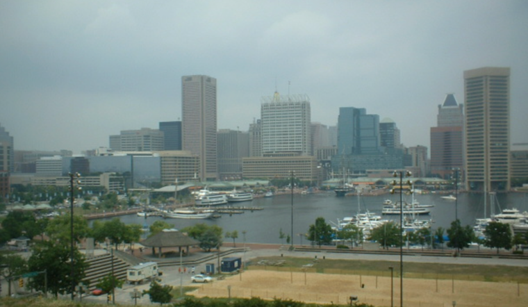
Baltimore woke up in a full-on summer soup Tuesday, July 21, 2026, with temperatures near 79°F and dew points in the low 70s. Scattered showers are possible this morning, and the day is expected to turn flat-out hot with a high around 92°F and heat index values as high as 100°F. Forecasters say scattered showers will grow more numerous this afternoon and evening, and a few storms could be strong to severe.
Afternoon Severe Threat
Storm coverage is expected to ramp up from late morning into midafternoon Tuesday, July 21, 2026, with the highest severe odds focused along the I‑95 corridor between midafternoon and early evening. The main hazards are damaging straight-line winds, large hail and locally heavy rainfall, and a brief tornado cannot be ruled out in isolated storms. Stay ready to move indoors quickly if warnings are issued, and keep an eye on county-level forecasts from the National Weather Service.
Heat And Humidity
By midafternoon it will feel downright swampy. Highs near 92°F and heat index readings near 100°F mean anyone planning outdoor work or exercise should shift to the morning or evening and drink plenty of water. Baltimore City maintains Code Red cooling resources and a running list of cooling-center locations during heat events for residents who need relief. Details are available from Baltimore City.
When Rain And Wind Arrive
Scattered showers are likely before 8 a.m. Tuesday, July 21, 2026, with storms expected to flare back up through the afternoon and the chance for two rounds into the evening. New rainfall totals of about a quarter to a half inch are possible, with pockets up to 0.5 to 0.75 inch where storms train over the same spots. South winds at 6 to 12 mph will gust into the low 20s this afternoon, with higher gusts inside any thunderstorm that develops. For neighborhood-by-neighborhood timing, keep up with short-term updates from the National Weather Service.
Boaters And Commuters
Small Craft Advisories are in effect for portions of the Chesapeake Bay through early Wednesday, July 22, 2026, so mariners should expect gusty southerly winds and choppy waters this afternoon and evening. Heavy downpours may briefly reduce visibility and create slick, flooded streets, so give yourself extra time and avoid driving through standing water. Marine details are available from National Weather Service Marine.
Plan Ahead
Move outdoor events indoors if you can, secure loose patio furniture and keep phone chargers handy in case strong gusts trigger isolated outages. If you are vulnerable to heat, use the city’s cooling-center information or call 311 for assistance, and check local forecasts before heading out. For background on this week’s setup and our prior coverage, see our earlier update at Hoodline on the developing storm threat and the possible storm smackdown Tuesday.



