

























































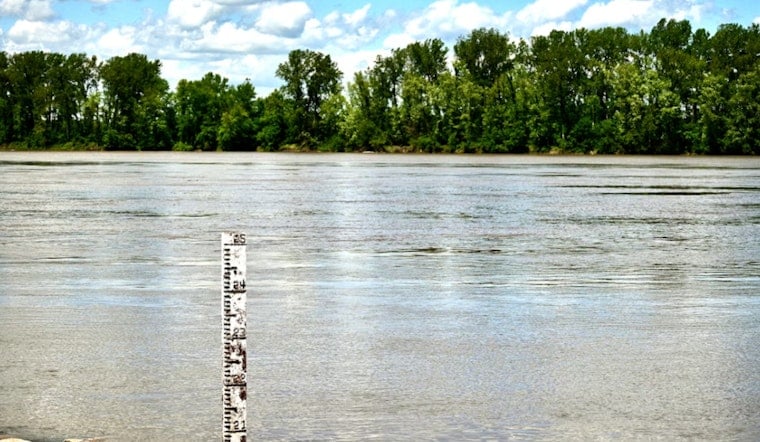
Flood stage on the North Fork of Black Creek near Middleburg just got a quiet but important makeover. The National Weather Service in Jacksonville has revised the flood-stage thresholds for the creek, trimming both the minor and major flood stages by one foot and spelling out more clearly when yards, roads and homes start taking on water. The update, built on an analysis of significant floods over the last 75 years, takes effect Thursday, August 27, 2026.
What the new stages are
Under the new setup, action stage is now defined as 11 feet. Minor flood stage is 15 feet, which is one foot lower than before. Moderate flood stage is set at 18 feet, and major flood stage is 20 feet, also one foot lower than the previous threshold. These definitions appear in the National Weather Service public information statement for the North Fork Black Creek forecast point, according to National Weather Service Jacksonville.
How forecasts and warnings work
The Middleburg site is designated a “flood-only point,” meaning forecasts are issued whenever water levels are expected to reach action stage within the next five days. Forecast guidance for this location comes from the Southeast River Forecast Center in Peachtree City, Georgia, and River Flood Warnings are issued by NWS Jacksonville when the creek is expected to rise above minor flood stage. Local coverage of the change appeared on News4JAX.
Impact descriptions by stage
Along with the new numbers, the NWS has rewritten its impact statements tied to specific crest levels so residents can more easily match a forecast to what is likely to happen in their own neighborhoods. Water begins to move into wooded areas near 13 feet and into backyards around 15 feet. Between 16 and 18 feet, yards and low-lying streets see more extensive flooding, and some homes may become isolated around 18 feet.
Once the creek reaches 20 feet or higher, the agency warns of widespread residential flooding, with some homes seeing more than 2 feet of water inside. Impacts are described as “considerable” at 22 feet and “catastrophic” at 25 feet, escalating to “historic” inundation at 28 feet, according to National Weather Service Jacksonville.
Where the data comes from
All of this depends on what the instruments on the creek are seeing in real time. Forecasts and warnings rely on continuous stage and discharge readings from the USGS gage at the North Fork Black Creek near Middleburg (site 02246000), which feeds measurements directly into the river-forecast system. Live gage data and recent readings are available on the USGS site.
Why this matters locally
For Middleburg neighborhoods along Lazy Acres Road, Scenic Drive and other waterfront streets, the creek’s mood is not an abstract concern. Residents there have watched the water creep up more than once in recent years, and county emergency managers say the sharper, plain-language impact descriptions should make it easier to decide when to move vehicles, protect belongings or leave early.
Officials worked with the NWS on the update after reviewing decades of past floods, and local reporting has followed earlier high-water events along Black Creek. See previous 2024 flooding coverage on News4JAX.
If you live along the North Fork, local emergency managers urge you to stay plugged into alerts, know which nearby roads flood first and keep an eye on the gage and forecast products whenever heavy rain is in the picture. With the thresholds now reset and the impact language tightened up, county and weather officials say residents and first responders should have clearer, more actionable information the next time Black Creek starts to rise.





