

























































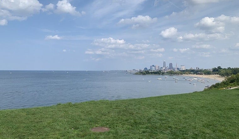
Early Wednesday brought light rain and temperatures near 70 degrees to Cleveland, but the gray start should clear quickly. The rest of the day is expected to turn sunny, with a high near 77 and a brisk north wind making the lakeshore feel noticeably cooler.
Sunny Stretch Arrives After A Breezy Start
According to the National Weather Service, north winds will run around 13 to 16 mph Wednesday, with stronger gusts possible near Lake Erie. Thursday should bring another sunny day with a high near 79, while Friday warms into the mid-80s under mostly sunny skies.
Beach Hazards Continue Through Early Thursday
A Beach Hazards Statement remains in effect along the Lake Erie shoreline through early Thursday, including Cuyahoga and neighboring lakeshore counties. The National Weather Service is warning of a high risk for rip currents and advises swimmers to stay out of the water, as wind and waves can pull people away from shore or along structures such as piers and breakwalls.
Conditions on the lake should gradually settle Thursday night and Friday as winds weaken. Even so, the current north wind could make beaches and waterfront paths uncomfortable Wednesday, especially for anyone expecting a calm midsummer afternoon.
Storm Chances Return This Weekend
The quiet stretch will not last forever. Saturday will be mostly cloudy with a 30% chance of showers and thunderstorms after 2 p.m., followed by a 50% chance Saturday night, Sunday stays mostly cloudy with another 50% chance of showers and storms and a high near 79.
Monday and Tuesday look warmer, with highs near 80 and 83, respectively, though both days carry at least a slight chance of afternoon showers or thunderstorms. For now, Cleveland gets a sunny reset after the early rain—but the lake is still the place to avoid entering.





