

























































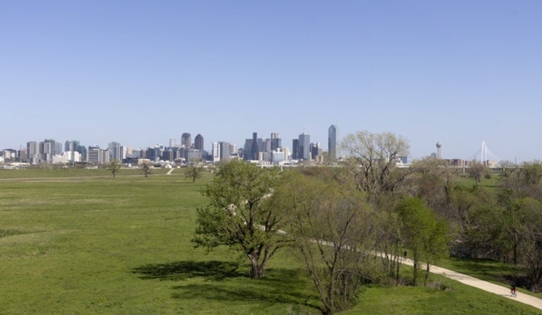
Today, skies are clear over the Dallas area with heat already building. Temperatures are headed for a high near 99°F this afternoon, with heat index values up to around 102°F. There is a slight chance of isolated showers or thunderstorms late in the day, mainly east of I-35, and overnight lows will stay muggy in the upper 70s.
The heat does not let up tomorrow and Friday, with highs expected near 100–101°F and heat index readings possibly topping 104°F, according to the National Weather Service Fort Worth. Southerly winds will generally run 5–10 mph, picking up later with gusts as high as 20–25 mph from late Thursday into Friday night. Nights will offer little relief, with sticky lows close to 80°F.
Afternoon Thunderstorm Chances
Any storms that do pop this afternoon should stay isolated and focused east and northeast of I-35, with coverage limited to roughly 20% and timing mainly after 4 p.m. The main concern with any storm will be sudden strong wind gusts that could briefly make driving hazardous. Most of the Metroplex should remain dry or see only brief downpours that taper off after the early evening commute.
Heat Through The Weekend
A strengthening ridge will keep the region hot and mostly dry through Friday, although rain chances start to climb late Saturday night into Monday as the pattern shifts. If you need a place to cool off, the city maintains a list of public cooling centers and facilities during heat events. Check the City of Dallas for locations and hours.
Plan Ahead
Drink plenty of water, avoid strenuous outdoor activity during the mid-afternoon peak, and keep an eye on updates if you have outdoor plans east of I-35. We will publish updates if any watches or advisories are issued; otherwise, expect more triple-digit afternoons through Friday.





