

























































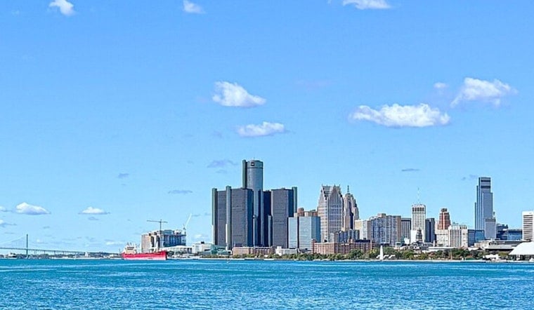
As of 5:35 a.m. today, Detroit skies are clear, and temperatures are near 66°F. The city is in for a bright, classic summer afternoon, with sunshine, a high around 86°F, and a light northeast breeze of 5 to 9 mph.
Heat Builds Monday Through Wednesday
The brief break from the earlier heat wave wraps up quickly. Tomorrow, temperatures jump to a high near 92°F. Tuesday is expected to be the real sizzler, with readings pushing into the upper 90s and some spots eyeing a high near 98°F. Overnight lows stay stuck in the upper 60s to low 70s, which means sticky, limited relief after dark, according to the National Weather Service.
Late Week Storm Chance
Most of the workweek looks dry, but things start to turn a bit more unsettled late Thursday into Friday. There is a slight chance of showers on Thursday, with a better shot at showers and thunderstorms on Friday and into the weekend. Any storms that pop up are expected to be scattered and short-lived, delivering brief heavy downpours and some localized puddling.
How Detroiters Should Prepare
Basic summer survival rules apply: drink plenty of water, avoid strenuous outdoor work during the hottest part of the day, and check on older relatives or neighbors who may not have air-conditioning. The city typically opens recreation centers and libraries as cooling centers during extreme heat. For specific locations and hours, visit the City of Detroit.
No Advisories Right Now
As of today, there are no heat advisories or watches in effect for Metro Detroit, but that could change quickly as the hot dome builds. Keep an eye on updated forecasts before making outdoor plans and be ready to tweak events if the heat or storms ramp up.



