

























































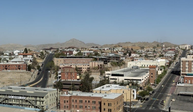
El Paso wakes up to clear skies and warm air on Sunday, July 12, but the weather is not exactly on cruise control. Temperatures are already near 79°F this morning, with the high expected to climb to around 97°F. By afternoon, strengthening east winds and the chance of a few isolated thunderstorms tonight into Monday will bring some extra drama to the day. Residents should be ready for gusty conditions on exposed roads and brief patches of blowing dust in open areas.
Afternoon Winds Pick Up
East winds of 8 to 15 mph are expected this afternoon, with gusts up to 24 mph. That could briefly cut visibility in open areas and make it feel a bit hotter than the thermometer suggests. Drivers of high-profile vehicles are urged to take it slow, and anyone with outdoor plans may want to tie down tents, umbrellas, and anything else that likes to fly, according to the National Weather Service.
Heat And Cooling Centers
With today's high near 97°F and humidity staying on the moderate side, the City of El Paso has activated cooling centers across town. Among the locations open to the public are the Main Library at 501 N. Oregon and the Gary Del Palacio Recreation Center at 3001 Parkwood St. Residents who need a place to cool down or are looking for a free fan can call 2-1-1 for site details and eligibility information, per the City of El Paso.
Late-Night Storm Chance
Overnight weather may get active. There is a slight chance of showers and thunderstorms between midnight and 2 a.m., with storm coverage expected to increase on Monday and again on Tuesday. Forecasters say Tuesday carries about a 50% chance of showers and storms. Some cells could drop brief but heavy downpours, which raises the risk of localized flooding on recent burn scars. The advice from the National Weather Service remains simple: do not drive through standing water and head indoors when lightning starts to pop.




