

























































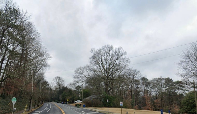
Fog and mist early Tuesday, July 14, 2026, cut visibility across Peachtree City and much of metro Atlanta, with temperatures starting near 73°F. Those low clouds will not last. By later in the day, expect showers and thunderstorms to fire up, with a high near 81°F and a good shot at getting rained on right around the afternoon commute.
Afternoon Storms And Flooding Risk
Showers and thunderstorms are expected to develop by late morning and ramp up quickly, becoming numerous to widespread this afternoon. The most active window looks to be roughly 1 p.m. to 6 p.m. EDT. Storms may bring frequent lightning, gusty winds and locally heavy downpours, with typical rainfall amounts from a quarter to a half inch, but slow-moving cells could dump 2 to 4 inches in spots. Keep an eye on watches and statements from the National Weather Service in Peachtree City for any flash flood or severe thunderstorm updates.
Morning Fog And The Commute
Patchy fog this morning will likely slow neighborhood traffic and cut visibility until mid-morning, and leftover moisture could leave a few slick spots where water pooled overnight. Later, brief but intense downpours can trigger quick ponding and sudden drops in visibility. Drivers should ease off the gas, avoid standing water and build extra time into their trips. For more local tips on handling soggy commutes and timing those storms, see Hoodline's earlier coverage Fog, Drizzle, Then a Drenching.
Looking Ahead
The unsettled, muggy pattern sticks around through midweek, with temperatures climbing into the upper 80s and low 90s by Thursday and Friday and heat indices pushing toward the triple digits by the weekend. Plan on daily afternoon storm chances through Sunday, and give outdoor events a solid backup plan in case the skies open up. Check for updated forecasts before you head out.





