

























































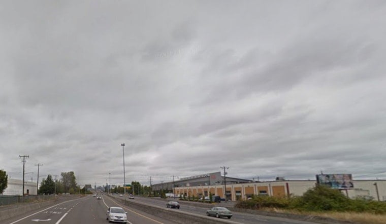
Seattle woke to a gray blanket of mostly cloudy skies on Thursday morning, with temperatures hovering near 57°F at local stations. Those clouds are expected to thin through the late morning, giving way to mostly sunny conditions by the afternoon and a comfortable high near 76°F. Light northwest winds inland should keep it feeling pleasant for anyone eyeing time at the park, on a patio, or along the waterfront.
Afternoon and Weekend Outlook
Thursday is shaping up as the sunniest day in the short-term stretch, with highs around 76°F and overnight lows in the mid‑50s. A weak frontal passage will move through Friday into Saturday, bringing increased clouds and trimming daytime highs to the low 70s, with only a slight chance of sprinkles mainly over the Olympics and the north interior. If you have outdoor plans to lock in, Thursday afternoon is your best shot at steady sun. This guidance comes from the National Weather Service Seattle.
Marine And Aviation Notes
Out on the water, seas will stay choppy through the Strait of Juan de Fuca, with a Gale Warning and small craft advisories in effect into the early morning hours, through about 5 AM PDT Thursday. Boaters should be ready for gusty westerlies and steep waves. Forecasters also note a modest chance of low coastal stratus returning tonight, with a 40–60% chance of MVFR ceilings pushing inland to the Seattle metro by daybreak Friday, something to keep in mind if you are catching a very early flight. Mariners and travelers should check official notices before leaving the dock or heading to the airport; details are available in the National Weather Service discussion.
Looking Ahead
High pressure rebuilds late this weekend into early next week, bringing a mild warm-up with highs returning to the mid‑to‑upper 70s and isolated low‑80s in the warmest inland spots Monday–Tuesday. By mid‑week, the onshore pattern should reassert itself, leading to cooler daytime conditions and strong overnight humidity recoveries. For now, treat Thursday afternoon as the prime window for outdoor activities and keep a light layer handy for those cool mornings.





