

























































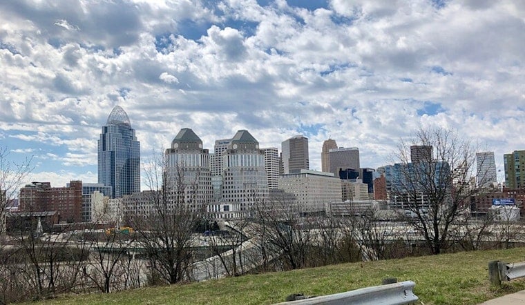
Today, July 16, Cincinnati woke up under a murky mix of haze and patchy fog, with temperatures hovering near 70°F at Lunken Field and visibility trimmed in the river valleys. The gray start is not expected to last all day. Sunshine should break through by midmorning and help push afternoon highs into the low 90s, around 93°F. Factor in the humidity, and it will feel closer to 100°F. Smoke from Canadian wildfires and elevated ozone levels are combining for air-quality headaches, and scattered showers and thunderstorms are on deck tomorrow into the weekend.
Afternoon Heat And Hazy Air
According to NWS Wilmington, highs will top out near 93°F today while northwest winds stay light. The office's special weather statement flags heat-index values in the upper 90s to about 100°F this afternoon. Lingering smoke may keep skies hazy enough in some spots to dim the sun a bit, but the humidity will still do its work. With only a light breeze, late-afternoon conditions are expected to feel sticky and oppressive for anyone working or exercising outside.
Air Quality And Health Steps
According to the Southwest Ohio Air Quality Agency, an Air Quality Advisory is in effect through midnight tonight as ozone levels may approach or exceed unhealthy-for-sensitive-groups thresholds. People with asthma, COPD, heart disease, older adults, and children should dial back heavy outdoor exertion and move activities indoors when possible. If you need a break from the heat or the haze, the City of Cincinnati maintains a list of cooling centers, and CRC pools and spraygrounds are open in neighborhoods across the city. Call 311 or check local pages for the latest hours before heading out.
Storm Risk Friday Into Saturday
Showers and thunderstorms are likely tomorrow, July 17, with the highest odds across western and southern suburbs and roughly a 70% chance of measurable rain in town. Forecasters note that new rainfall amounts around a quarter to a half inch are possible with stronger storms, which bumps up the risk for localized flash flooding and isolated gusty winds. A broader round of showers and thunderstorms is expected Saturday afternoon and evening, July 18, bringing another window for heavy rain and brief damaging gusts.
Plan Ahead
To ride out the combination of heat, haze, and storms, try shifting strenuous outdoor activities to the morning or evening this weekend, and keep a backup plan ready for events that could get washed out. Watch for patchy fog along the morning commute in river valleys and avoid driving through standing water after heavy downpours. Stay hydrated, check local warnings before you head out, and move anyone with breathing or heart problems to cool, clean air while the advisory is in effect.





.jpg)