Southern Wisconsin’s Fourth of July warmup turned into a race against the radar on Thursday evening, as a fast-moving line of severe thunderstorms barrelled east across the region and triggered a raft of National Weather Service warnings. The storms prompted cancellations and delays at some holiday events and carried the classic severe-weather triple threat: damaging straight-line winds, large hail and brief tornadoes. Forecasters cautioned that downed trees and scattered power outages were likely, and local emergency officials urged residents to keep an eye on alerts and head indoors as the line closed in.
The National Weather Service issued a severe thunderstorm warning that included northeastern Dane County, Jefferson County and southern Dodge County, with parts of the alert listed as remaining in effect until 6:45 p.m. The warning area covered communities such as Watertown, Hartford, Jefferson, Lake Mills, Columbus, Marshall, Waterloo and Cottage Grove, according to the Milwaukee Journal Sentinel. The same report notes that a tornado warning linked to an earlier storm cell expired at about 5:45 p.m. after the immediate threat passed out of the area. Journal Sentinel reporter Adrienne Davis filed the update.
What Forecasters Saw On Radar
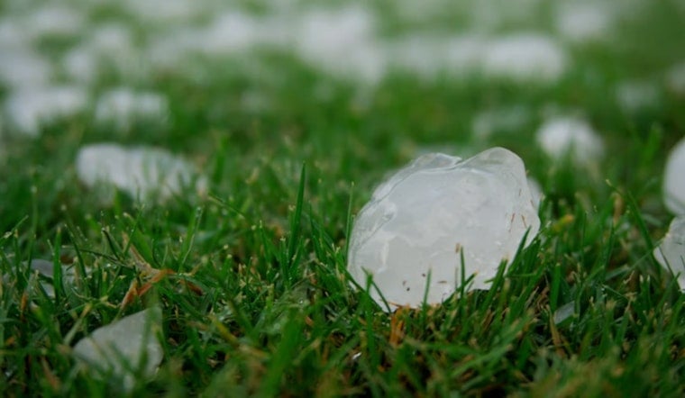
On radar, the storm line stretched from near Columbus to Cottage Grove and was marching east at about 35 mph, with official warning text flagging hazards that included quarter-size hail and wind gusts up to 60 mph, per National Weather Service language mirrored on Weather Underground. The alerts warned that hail could damage vehicles, while the strong winds were capable of snapping branches and battering roofs and siding. Meteorologists added that the quick forward motion would boost the odds of localized power outages even in places spared the worst structural damage.
How To Shelter If You Are In The Path
The National Weather Service advises people in warned areas to “seek shelter in an interior room on the lowest floor of a sturdy building” and to keep listening to local media or a NOAA Weather Radio for updates, per the agency’s safety guidance on the National Weather Service site. Anyone in a mobile home or outdoors is urged to move to a designated shelter or the nearest solid building and to stay away from windows. Even after warnings expire, officials note that downed trees and power lines can still make roads dangerous.
Broader Pattern And What Comes Next
Thursday’s storms were part of a broader corridor of unstable air that forecasters said favored fast-moving storm clusters capable of producing large hail and damaging winds. That setup pushed parts of the Upper Midwest into a slight to enhanced severe-risk category for the day, according to national outlooks and coverage by Weather.com. Heat and humidity that had been building over recent days primed the atmosphere for rapid thunderstorm development, the kind that can flare up quickly and leave a swath of brief but intense damage. Local forecast offices said additional storms remained possible into the holiday weekend.
Officials urged residents to steer clear of downed power lines and to avoid flooded or debris-blocked roads while crews work. For location-specific information, they recommended checking local forecast office pages or the Milwaukee Journal Sentinel. Emergency managers also suggested keeping phones charged, having a safe room picked out ahead of time and giving utility crews room and time to restore service before people head back into the hardest-hit areas.


