

























































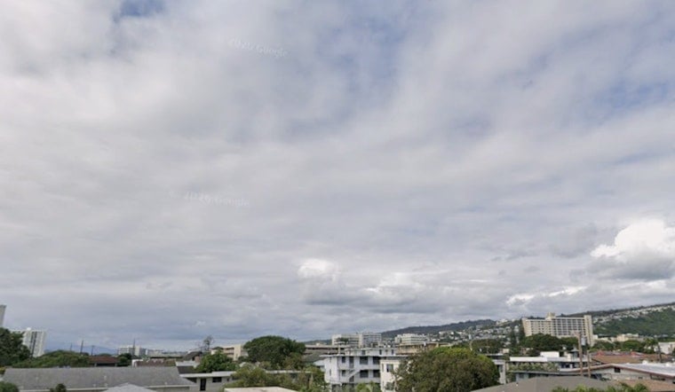
Honolulu woke up Monday, July 13, to classic trade-wind weather: warm, breezy and a little soggy along the windward slopes. Temperatures hovered near 77°F at Daniel K. Inouye International Airport, with passing morning showers giving way to pockets of sunshine. The main concerns for shoreline neighborhoods are the gusty east-northeast winds and the extra-high afternoon tides eyeing low-lying spots.
Afternoon Winds And Spotty Showers
Scattered showers are likely before noon, then skies should trend mostly sunny with a high near 85°F. East-northeast trades are forecast around 16 to 20 mph with gusts up to 28 mph, so exposed ridgelines, windward valleys and coastal roads can expect a blustery feel this afternoon. Rain totals look light, generally less than a tenth of an inch, with the roughly 30% chance of measurable showers focused on windward areas.
Marine And Coastal Impacts
A Small Craft Advisory is in effect for most coastal waters through 6 AM HST Tuesday, with a few of the typically windier channels holding onto the advisory until 6 PM this evening. Small boats should be ready for choppy seas and punchy gusts on open water.
A Coastal Flood Statement issued July 13 remains in effect through Tuesday afternoon, July 14, flagging the potential for isolated minor coastal flooding and overwash around the daily peak tides. Low-lying roads, docks and boat ramps could see some saltwater creep. According to the National Weather Service Honolulu, shoreline residents should avoid driving through flooded roadways, move valuables to higher ground and secure moorings and any craft stored on the beach.
Through The Week
Trade winds should ease slightly Tuesday into Wednesday, but a surge of moisture Tuesday night could bump up shower coverage before drier air slips back in by midweek. Winds stay out of the east to east-northeast for several days, with another pocket of increased moisture possible Friday into the weekend. For outdoor plans, late morning through early afternoon typically offers the clearest window each day.
Plan Ahead
Small-boat operators may want to delay launches while the advisory is in place, and shoreline drivers should steer clear of low-lying coastal streets during the afternoon high tides, when nuisance flooding is most likely. For background on the trade-wind setup and recent king-tide concerns, see muggy trades and king tides. This report will be updated if the National Weather Service issues any new advisories or changes the current headlines.



