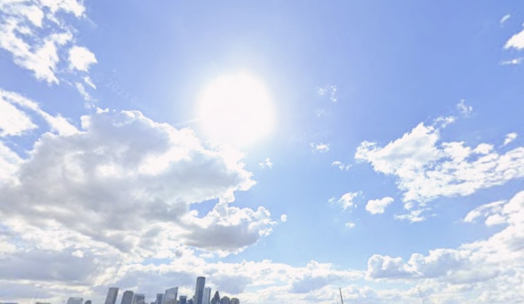
Houston rolled into Thursday, July 2, 2026, wrapped in a thick blanket of humidity, with early morning temperatures near 79°F and the air already feeling heavy. The day will run hot and sticky, with scattered sea-breeze storms possible after noon. Highs are expected to land around 93°F, while heat-index values could climb past 100°F in many neighborhoods. With light winds on tap, any storms that bubble up may drop brief, heavy rain and lightning before fizzling out as evening temperatures ease.
Afternoon Storms
Storm chances ramp up after lunchtime and peak in the mid-afternoon, roughly between 1 and 4 p.m., with local probabilities near 40–53%. Most storms should be short-lived, but they could pack heavy downpours, lightning, and quick hits of low visibility. New rainfall totals are generally expected between a tenth and a quarter of an inch. For official timing and live updates, check the National Weather Service Houston/Galveston.
Heat Through The Holiday Weekend
The heat is not clocking out anytime soon. Highs hold in the low to mid 90s straight through the holiday, with about 93°F expected on Friday and around 95°F on Saturday, July 4, 2026. Overnight lows will not offer much relief either, staying in the upper 70s. Heat-index values are expected to run roughly 100–110°F at peak, and forecasters say a few spots could briefly touch the upper end of that range. There are no heat advisories in effect for the area this morning.
If you need air-conditioning and a break from the sauna, Reliant and city partners have opened Beat the Heat cooling centers across Houston. Call 3-1-1 or visit Reliant for locations and hours.
What This Means For Events And Commutes
With light winds and high humidity, the heat will feel worse than the thermometer suggests. Outdoor events will go down easier in the early morning or evening, so parades, practices, and yard work are better planned around those windows. Afternoon storms could flip the script fast with slick streets, brief downpours, and lightning delays, so build in extra time for commutes and keep rain gear close.
For outdoor workers and fans headed to games or festivals, water, shade, and breaks in cooled spaces are key. Check local forecasts before heading out for parades, fireworks, or matches, and move activities indoors if you hear thunder nearby.
As of Thursday morning, there are no active watches or warnings for the Houston area, although conditions could change this afternoon as sea-breeze boundaries collide and spark storms. Standard heat safety still applies: drink plenty of water, take regular breaks in air-conditioned spots, and check on elderly neighbors and pets who might struggle in this kind of heat.


