

























































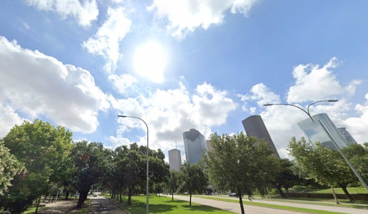
Houston woke up Monday, July 6, to thick, almost soupy humidity and temperatures already pushing 80°F before breakfast, and it is only going up from there. Forecasters expect afternoon highs near 96°F with very little wind to take the edge off. When you factor in the humidity, heat-index values are forecast to land in the 105–106°F range across much of the metro. Overnight, temperatures will only slip to around 79°F, so it will stay muggy and uncomfortable even after dark.
Afternoon Storm Chance Is Small
A few lucky neighborhoods might see a brief shower or a quick sea-breeze thunderstorm between about 2 and 3 p.m. Monday, but the key word is "brief." Coverage is expected to be limited, and any storms that do form should be spotty and short-lived. The National Weather Service says these pop-ups are not likely to bring widespread cooling relief; the headline is still the heat. Full forecast details and hourly timing are available from the NWS Houston/Galveston.
Heat Safety And Daily Outlook
Heat-index readings of 105–107°F are likely through midweek, with locally higher values possible, conditions that raise the risk of heat exhaustion and heat stroke, especially for people doing prolonged outdoor work or intense exercise. It is a good week to limit strenuous outdoor activities between late morning and midafternoon, drink plenty of water, and check on elderly neighbors and pets. If someone shows signs of heat stroke, such as confusion, fainting, or a very high body temperature, call 911 immediately.
Cooling Resources And Help
Residents without air conditioning have options, but they will need to plan ahead. Cooling centers, libraries, and other city facilities are available, and you can call 3-1-1 for locations and transit information. The Houston Health Department and the city's emergency management office maintain up-to-date lists of resources and safety tips for heat events; visit the Houston Health Department for guidance. If you are organizing outdoor events later this week, consider moving them to early morning or evening hours when temperatures are lower.
Marine And Week Ahead
Along the Gulf, light onshore winds will keep seas generally calm at 1–2 feet through early this week, although seas may build to around 3–4 feet later in the week as the pressure gradient tightens. Rain chances drop off Wednesday and Thursday as high pressure briefly nudges in, then rebound toward the end of the week with more scattered afternoon storms in the mix. Even short-lived storms can bring sudden gusty winds near the coast, so keep water safety in mind if you are headed to the beach or out on the boat.



