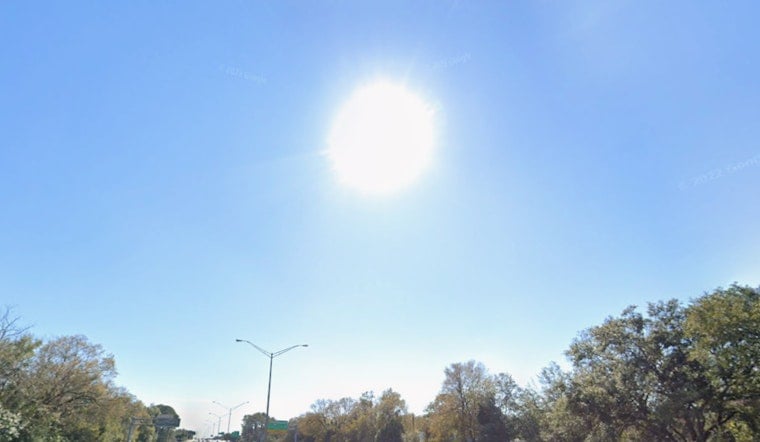
Jacksonville is waking up to a mostly clear, sticky Thursday morning, with temperatures lounging in the upper 70s and the kind of humidity that hits you the second you open the door. Expect plenty of sun and a steady northeast breeze through the day, with a high near 90F and gusts up to about 18 mph. Rain chances stay low, around 10%, but anyone heading for the sand should be aware of a moderate rip current risk setting up this afternoon.
Afternoon Heat And Weekend Outlook
Afternoon highs will hover near 90F along the beaches and climb into the mid 90s farther inland as the week rolls on. Friday brings about a 30% chance of showers and thunderstorms, along with heat index values pushing into the low 100s. Independence Day looks even hotter, with highs in the mid 90s and the usual round of late day storm chances trying to crash the party.
The National Weather Service notes that the Satilla River at Atkinson will stay in minor flood through the weekend, and onshore flow is expected to beef up storm coverage and downpour intensity as we get closer to the holiday, according to NWS Jacksonville.
Beaches, Boaters And Rivers
Onshore winds and a developing sea breeze will keep rip currents and choppy surf in the mix, so swimmers should follow lifeguard instructions and steer clear of any obvious rip hazards. Boaters should be ready for quick hitting, gusty storms and factor in extra time for launching and docking. Low lying roads near creeks and campgrounds could take on water if repeated downpours set up over the same spots.
Heat Safety And City Resources
With heat indices expected to top 100F at times over the holiday weekend, it is smart to ease up on heavy outdoor work during the afternoon, drink plenty of water, and check in on neighbors and pets. The City of Jacksonville’s “Stay Cool Jax” plan lists cooling centers, transit support, and other resources for heat events; locations and activation details are available at City of Jacksonville Stay Cool Jax.
Whenever possible, try to schedule outdoor plans for earlier in the morning or later in the evening, and keep tabs on updated forecasts if you have fireworks or other outside events lined up over the holiday. This post will be updated if any hazards change through the long weekend.


