

























































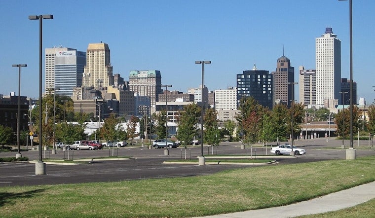
Friday, July 10, 2026 — Memphis rolled into the day already sticky, with temperatures near 81°F at Memphis International and dew points parked in the low 70s. A Heat Advisory stays up until 8 p.m. CDT on Friday, July 10, 2026, with forecasters calling for a high near 93°F and a heat index close to 107°F this afternoon. That combo makes midday and late-afternoon outdoor time a risky proposition.
There is a slight chance of showers and isolated thunderstorms between about 8 a.m. and 1 p.m. on Friday, July 10, 2026, although most neighborhoods are expected to stay dry into the afternoon. A southwest breeze around 10 mph should kick in as skies trend partly sunny later in the day. For the latest watches, advisories, and hour-by-hour details, check the forecast from NWS Memphis.
Storms Could Turn Heavier Saturday Night
Rain chances climb as the weekend rolls on, and Saturday night, July 11, 2026, is shaping up to be the main event. Showers and thunderstorms are "likely," with a roughly 70% chance in some forecasts. New rainfall amounts between three-quarters and one inch are possible in spots, and multiple rounds of storms could trigger localized flash flooding and gusty winds overnight. If your plans involve patios, parks or backyard grills on Saturday evening, keep a close eye on the radar and have a quick path indoors.
Heat Safety And Cooling Options
Hydrate early and often, skip heavy outdoor work during the hottest stretch of the day, and check on neighbors or relatives who may not have air conditioning. The Hospitality Hub at 590 Washington Ave is operating as a cooling and warming center; contact details and hours are available from Hospitality Hub. If someone starts showing signs of heat exhaustion, such as faintness, heavy sweating, headache, or confusion, get them to a cool place and seek medical help.
Travel note: Southwest winds around 10 mph are expected to pick up this afternoon, and airports could see stronger gusts that briefly affect ground operations. Downed limbs from stronger storms may slow traffic on local roads. Carry water, budget extra commute time, and keep an eye on radar apps for any sudden storms through Friday afternoon and again Saturday night.
For background on the broader heat stretch and local cooling resources, see our earlier coverage of this heat wave. We will update this page if new advisories are issued or conditions change.





