

























































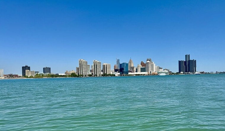
Detroit woke up in a steam bath today with clear skies, muggy air and temperatures already sitting in the mid 70s by morning. A Heat Advisory is in effect for all of southeast Michigan from noon to 8:00 p.m., and forecasters expect the afternoon high to push near 100°F.
Heat And Safety
Forecasters say heat index values could jump into the mid 100s, as high as 105 to 108°F in the peak afternoon hours, which makes outdoor work and exercise a risky proposition for anyone without protection. According to the National Weather Service, the advisory warns that hot temperatures and high humidity may cause heat illnesses and urges people to drink plenty of fluids, stay in air-conditioned spaces and check on relatives and neighbors.
What To Expect Today
The sun will dominate through the afternoon with little chance of rain. Temperatures are expected to climb into the 90s by midday, then top out around 100°F by mid to late afternoon. West-southwest winds will generally run 5 to 10 mph and increase to around 10 mph with occasional gusts, so riverfront spots and other exposed areas may feel a bit breezy, though not exactly cool.
Overnight, the air does not offer much of a break. Lows only slip into the mid 70s, which means homes without air conditioning will stay warm and sticky well after dark.
Cooling Centers And Advice
The City of Detroit has opened recreation centers and many public library branches as cooling centers for residents who need air-conditioned space. People can call 2 1 1 or check local listings for hours and availability. The city keeps an updated list of cooling locations and hours, according to the City of Detroit, and officials are reminding parents and pet owners not to leave children, vulnerable adults or animals in parked cars for any length of time.
Looking Ahead
The heat sticks around tomorrow, with highs near 99°F and heat index values still near 100°F in the warmest spots, so another heat headline may be needed for parts of the region. Late in the week, the pattern turns more unsettled, with an increasing chance of showers and thunderstorms Friday into the weekend. Any storms could be locally heavy, so the same system bringing oppressive heat might also deliver some drenching downpours.
For forecast updates and any new advisories, keep an eye on the National Weather Service.





