

























































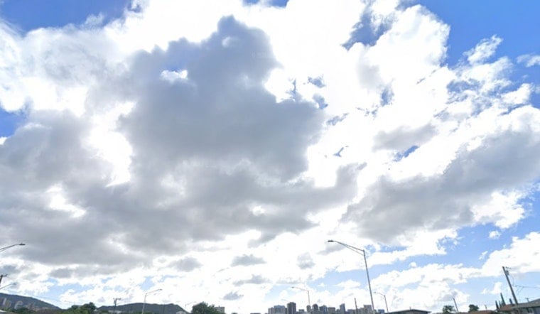
Honolulu woke up at 4:53 a.m. HST on Tuesday, July 14, to mostly cloudy skies, muggy air around 75°F and a classic east-northeast trade flow already stirring things up. Forecasters are calling for a mostly cloudy day, a high near 85°F and about a 60% chance of brief, spotty showers, mainly for windward and mauka neighborhoods. Peak afternoon high tides could still push minor coastal flooding onto the usual low-lying trouble spots through this afternoon.
Afternoon Showers And Gusty Trades
Showers will be hit-or-miss, favoring windward coasts and the Koʻolau foothills, with new rainfall totals generally staying under a tenth of an inch. East-northeast winds are expected around 8–17 mph, with gusts up to 24 mph in the more exposed corridors, which will kick up choppy conditions along east-facing shores. A light rain layer is a smart grab-and-go item, and it would not hurt to allow extra time if your commute cuts through wind-prone valleys or hugs the shoreline.
Coastal Flooding Around Afternoon High Tides
Peak monthly high tides, combined with water levels running a bit higher than predicted, mean isolated minor coastal flooding is possible around the late-afternoon high tide cycle. A Coastal Flood Statement remains in effect until 6:00 p.m. HST. According to NWS Honolulu, vulnerable low-lying roadways, docks and boat ramps could see some overwash and saltwater sneaking inland. For a deeper dive on tide timing and nuisance flooding in this pattern, see our earlier look at muggy trades and king tides.
What To Do
If you run into standing saltwater on the road, turn around and pick another route. The Coastal Flood Statement explicitly advises, "Avoid driving through flooded roadways," and recommends rinsing any vehicle that does get a splash of saltwater to help limit corrosion. Out on the water, mariners should secure small craft and check with harbormasters before launching. Lifeguards and local officials will post closures or warnings if conditions take a turn.
Rest Of The Week
Trade winds are expected to ease through Wednesday, then ramp back up from Thursday into the weekend. That should trim shower coverage after midweek but also bring the gusts back later in the week. Highs will hold in the mid-80s, with sticky overnights in the upper 70s, so anyone planning shoreline time or small-boat outings should keep an eye on conditions through Wednesday.



