

























































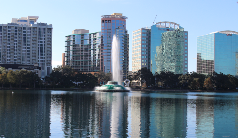
By 5:30 a.m. EDT Friday, July 24, the Orlando area was already steamy, sitting mostly cloudy and around 81°F at local observing sites. This afternoon, the heat is expected to crank up, with inland highs near 95°F and slightly cooler readings near the coast. Thick humidity will make it feel worse, with heat-index values potentially pushing up to about 102°F. Light east-northeast breezes around 0-10 mph should limit showers today, but the muggy air will still make being outside a slog.
Afternoon Heat
Skies turn mostly sunny this afternoon, especially away from the immediate coast, and the official forecast keeps highs near 95°F with only a small rain chance of roughly 8%. That translates to peak heat-index values near 100-102°F, enough to pose a real risk of heat-related illness for anyone working, playing or exercising outside. Plan on frequent breaks, shade and plenty of water if you have to be outdoors. Forecast details come from the National Weather Service.
Weekend Outlook
Moisture increases into the weekend, and those familiar sea breezes will collide to fire up more late-day showers and thunderstorms. Saturday is poised to be the hottest, with highs near 97°F and scattered storms popping after 2 p.m. Sunday trends wetter, with showers and thunderstorms likely and highs in the mid-90s. Slow-moving storms could dump torrential downpours, bring frequent lightning and kick up gusty winds strong enough to knock down small branches, raising the risk of nuisance flooding in low-lying spots.
Local Impacts And Cooling Options
Triple-digit heat-index readings combined with warm nights will push up the risk of heat-related illness for outdoor workers, older adults and anyone without reliable air conditioning. The county posts cooling-center locations and other resources for residents, and free transit to cooling sites is sometimes arranged on extreme-heat days. You can find the latest guidance from Orange County. If you are vulnerable to heat, avoid heavy exertion during mid-afternoon, drink plenty of water and check in on neighbors who might need a hand.
On The Roads
Late-day storms this weekend could drop bursts of heavy rain that cut visibility and leave roads slick in a hurry. Gusty winds may slow traffic on I-4 and other major routes. When storms are nearby, build in a little extra travel time, and if you have to be outside, bring water and a way to get some shade.





