

























































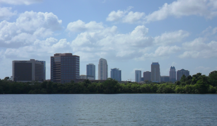
Orlando started Thursday, July 23, on the steamy side, with clear skies, upper 70s on the thermometer, and dew points stuck in the mid 70s. The heat is only getting more intense this afternoon, with temperatures headed for the mid 90s and a noticeably hotter feel in the midday sun. Keep water close and try to move heavy outdoor chores to early morning or evening if you can.
Afternoon Sizzle And A Stormy Turn Ahead
Skies stay mostly sunny today with a high near 96°F and heat index values reaching about 103°F, while rain chances hold low at around 10%. East southeast winds at 5 to 10 mph should take a bit of the edge off along the coast, but inland neighborhoods will bake. There are no active watches or warnings in place for the metro.
Humidity starts to creep up late this week, which means the classic Florida pattern of afternoon showers and thunderstorms returns Friday into the weekend. Expect about a 40% chance of storms Friday and Saturday, with showers and storms likely Sunday into early next week. Any stronger storm could bring gusty winds, frequent lightning, and brief heavy downpours, according to the National Weather Service.
Beat The Heat
If you do not have reliable air conditioning, it may be worth planning a few hours in a public cooling spot. Check the Orange County cooling centers list for locations and hours. Drink water regularly, avoid hard outdoor activity from late morning through mid-afternoon, and keep tabs on older relatives or neighbors who might struggle with the heat. Before you head out later in the week, keep an eye on the sky and the forecast, since scattered storms can build quickly and come with heavy rain or gusty winds.





