

























































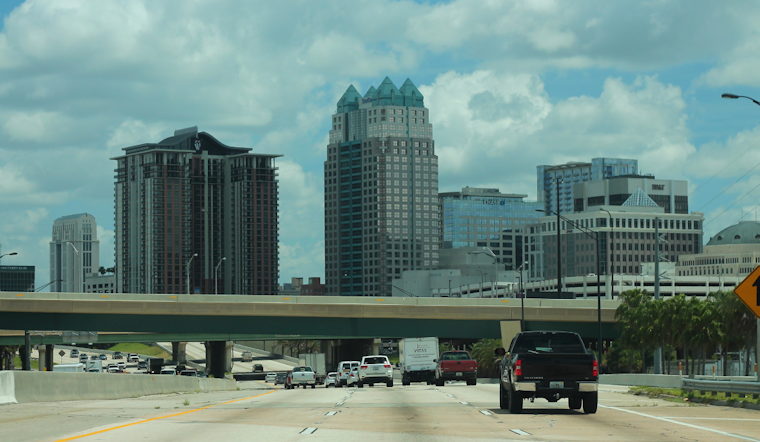
Thursday, July 16, 2026 — Orlando woke up sticky and sweltering, with mostly clear skies and temperatures already pushing into the low 90s. Expect a mostly sunny start, then a rising chance of showers and thunderstorms after noon. Highs will top out near 93°F and it will feel even hotter, with heat indices climbing over 100°F. The main spoiler for outdoor plans will be those afternoon storms, which could bring brief heavy downpours, frequent lightning and gusty winds before activity shifts offshore late tonight.
Afternoon Storms And Gusty Winds
The highest coverage of showers and thunderstorms is expected after 2 p.m. Thursday, July 16, 2026, as sea-breeze collisions fire up storms across the peninsula. Stronger cells could pack wind gusts of 45–55 mph and drop a quick 1–3 inches of rain, which may trigger localized flooding in low-lying or poorly drained spots. Lightning will be frequent, so anyone outside in the late afternoon will want to keep a close eye on the sky. Most storms should move offshore by late evening, according to the National Weather Service Melbourne.
Heat And Local Resources
The hot, muggy pattern will lock in through the weekend and into next week, with afternoon highs generally in the low to mid 90s and peak heat-index values around 100–107°F. Orange County has lowered the threshold for opening county cooling centers this season, using local libraries and recreation centers when extra relief is activated, a change first reported when the county dropped the heat bar. If you are planning to be outdoors for long stretches, drink plenty of water, take frequent shade breaks and check the latest forecast before heading out.
Beaches, Boating And The Week Ahead
A moderate rip-current risk remains in place at east-central Florida beaches today, and scattered storms will push bands of heavy rain offshore late this evening. Seas should stay near 1–3 feet through Friday, with the potential for 4-foot offshore seas and stronger southerly winds from Saturday, July 18, through Monday, July 20, 2026, as a Gulf low develops. Forecasters note that the National Hurricane Center has highlighted an area near north Florida with about a 20% chance of tropical development over the next seven days, and officials will be watching to see whether that low organizes. More details are available from the National Weather Service Melbourne.



.jpg)