

























































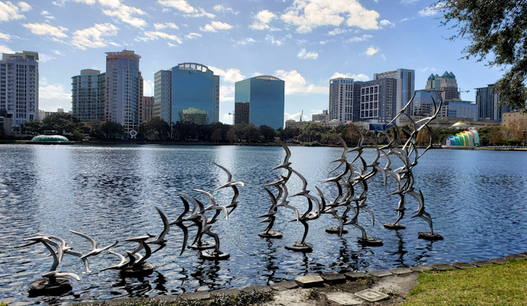
Monday, July 20, 2026, Orlando woke up mostly clear and already steamy, with temperatures in the low 90s and a high near 93 expected this afternoon. Scattered showers and thunderstorms are expected to bubble up after noon, and any storm that gets going could unload heavy downpours and frequent lightning. Heat and humidity will drive feels-like readings toward 102°F, so anyone planning outdoor fun should have a solid indoor backup. South-southeast winds of 10-15 mph, with gusts up to 25 mph, will help storms fire and keep the air uncomfortably muggy.
Afternoon Storm Risk
Bands of gusty showers and thunderstorms will stream northward through the area, helped along by Tropical Depression Two staying well to the west of Central Florida. Those bands can spin up brief but intense cells this afternoon, tracking northeast at roughly 20-25 mph. The main hazards are frequent lightning, short bursts of heavy rain with pockets of 1-3 inches, and strong wind gusts, with some storms capable of producing damaging gusts around 50-55 mph. Storm coverage will be highest inland where sea-breeze boundaries collide, and forecasters are calling for about a 50% chance of afternoon storms, according to the National Weather Service in Melbourne.
Heat And Where To Cool Off
Even when the radar is quiet, the heat will be oppressive. Highs stay in the low-to-mid 90s through the week, with heat-index values commonly topping 100°F and some spots pushing into the 100-107°F range. Orange County maintains a network of cooling locations, and LYNX will provide free rides to designated centers if the heat index reaches 103°F, according to the Orange County government. Christian Service Center at 808 W. Central Blvd. and Marks Street Senior Recreation Complex at 99 E. Marks St. are among the county-listed options for residents who need a cool place to ride out the worst of the afternoon heat.
Boaters And The Coast
Conditions turn rougher over the water tonight. Winds will be breezy, and a Small Craft Advisory covers the Volusia and Brevard offshore waters from late Monday into Tuesday morning, with seas generally 2-4 feet and higher near storms. Small craft operators should think twice before heading out, secure all gear if they do go, and keep a close eye on the sky. Beachgoers should also be ready to clear the sand quickly as thunderstorms can develop rapidly and bring dangerous lightning. Updated marine statements are a must-check before launching or wading in.
Plan For The Commute
Late-day storms are likely to tangle with the evening commute, mainly between about 3 p.m. and 8 p.m. Expect sudden heavy rain and brief drops in visibility on major roadways if a stronger cell rolls over your route. Give yourself extra travel time, slow down in heavy rain, and avoid driving through standing water. If you have evening plans, keep tabs on the forecast and local alerts so you are not caught off guard.
For background on this week's pattern, see our earlier coverage on this week's sticky heat and wild storms, and we will post updates if any advisories expand later today.





