

























































For weeks after March's Kona lows, Paʻakea Road on the Waiʻanae Coast was less a roadway and more a waist-deep canal. On a 2.7-mile stretch, about a mile of the road was impassable, cutting off residents and turning everyday errands into logistical puzzles. Locals say the flooding did not just swamp cars and homes, it laid bare years of unbuilt flood-control projects and unfunded studies that left evacuation routes and neighborhoods exposed.
Now, with residents still frustrated and the rainy season never far away, state crews are rushing in short-term fixes while the larger, slower fights over money and land rights continue in the background.
State starts short-term fix with 'aqua cells'
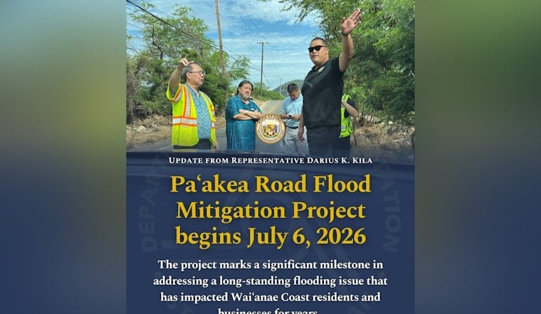
According to a Hawaii Department of Transportation press release, crews began installing two "aqua cells" under Paʻakea Road on July 6, between Morse Street and Apana Road. The underground structures are intended to divert storm runoff off the pavement and temporarily store it so the road stays passable instead of turning into a standing pool.
The department says the work is limited to local traffic on weekdays and is expected to continue through September 2026. Hawaii News Now reported that the emergency repairs followed an April site visit that pinpointed the worst trouble spots along the corridor.
Decades of plans sat on a shelf
The scramble to install stopgap drainage comes after years of planning that went nowhere. A 2001 Army Corps master study and later documents mapped out a wide-ranging package of flood controls for Lualualei, but the work was never funded, according to a City and County of Honolulu memo.
The state Department of Defense's archived reporting notes that 1996 storms caused more than $12 million in damage across Oʻahu, per an Hawaii Department of Defense annual report. For longtime residents, that history is exactly why they say the valley's flood risk has been obvious for decades, even if the fixes stayed on paper.
Residents say warnings were ignored
“No one wanted to put money into solving the flooding issues. And nobody did anything,” community activist Patti Teruya told Civil Beat. Neighbors described water pouring over Paʻakea Road and into yards, soaking floors and destroying tools. One family estimated about $10,000 in losses after the latest round of floods.
Civil Beat also reported that, after the first Kona low, a film crew working with Jason Momoa joined residents with pumps to pull water out of the area. The ad-hoc scene, more like a movie set than a coordinated disaster response, has become a sore point for locals who say it highlighted how thin official help felt in the moment.
Short-term fixes, long-term headaches
HDOT says the new drains can finally move forward because the state acquired Paʻakea Road from a patchwork of private owners and the city in October 2025. A broader drainage study for the corridor is supposed to follow, according to the agency's press release, setting up the next round of decisions about what long-term protection will actually look like.
Engineers caution that the bigger-ticket options, including detention basins, new culverts and raising parts of the roadway, will require dozens of separate property agreements. Some of the needed work could be complicated by existing infrastructure in the area, such as Navy radio towers. For now, residents and lawmakers are treating the aqua cells as a necessary but limited stopgap while funding and land deals are hammered out.
The Paʻakea Road project may be enough to keep cars moving through the next rainy season, but the valley's bigger flood-control choices remain politically fraught and expensive. Residents argue that the recent burst of activity proves officials knew about the risk long before the latest storms. State leaders say the upcoming HDOT drainage study will be the test of whether these short-term gains can finally be turned into lasting protection.



