

























































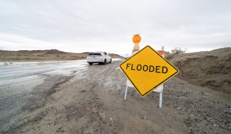
A Flash Flood Warning is in effect for parts of Philadelphia and South Jersey through 6 p.m. on Thursday, July 9, after slow-moving thunderstorms dumped heavy rain across the Delaware Valley. Streets, underpasses and low-lying neighborhoods are at risk of rapid inundation as storms fire off intense rainfall. Emergency crews are on alert, and drivers are being urged to steer clear of any standing water on the roads.
At 3:11 p.m. EDT, the National Weather Service in Mount Holly issued a flash flood warning for northwestern Camden, north-central Gloucester, east-central Delaware and southwestern Philadelphia counties, warning that thunderstorms could drop 1 to 3 inches of rain in an hour and trigger life‑threatening flash flooding. According to the National Weather Service in Mount Holly, flooding of creeks, urban areas, highways and underpasses is already occurring or expected to begin shortly, and the advisory repeats the standard “Turn around, don’t drown” reminder for motorists.
FOX 29 meteorologists Kathy Orr and Scott Williams broke down the warning on-air, spelling out which neighborhoods and travel corridors are most vulnerable as the evening commute unfolds. The station's bulletin highlights the counties listed in the advisory and urges residents to follow closures and seek shelter if they are caught outside. FOX 29 is carrying live updates and graphics showing the track of the storms moving through the region.
Where water is most likely to cause problems
A broader Flood Watch remains in effect through midnight across much of southeast Pennsylvania, northern Delaware and a large portion of New Jersey, meaning additional storms could send dangerous runoff into already saturated areas tonight. The watch covers counties from Berks and Lancaster to Bucks and Philadelphia, and extends into Camden, Gloucester and Coastal Atlantic in New Jersey, according to the National Weather Service. Forecasters caution that repeated downpours could cause creeks and storm drains to back up quickly, especially in neighborhoods with poor drainage.
What residents and drivers should do
Residents in low-lying spots are urged to move valuables and vehicles to higher ground and to assemble a basic emergency kit in case conditions worsen. Drivers should never attempt to power through standing water, since even a few inches can stall a vehicle or sweep it off the road, and they may want to delay nonessential trips until the warning and watch expire. For a detailed checklist of preparedness steps, see Ready.gov.
Local transit agencies and city crews may post road and service updates as they respond to flooded routes and downed infrastructure, so residents are encouraged to keep an eye on local station bulletins for real-time information. This story will be updated if warnings change or new official guidance is released.




