

























































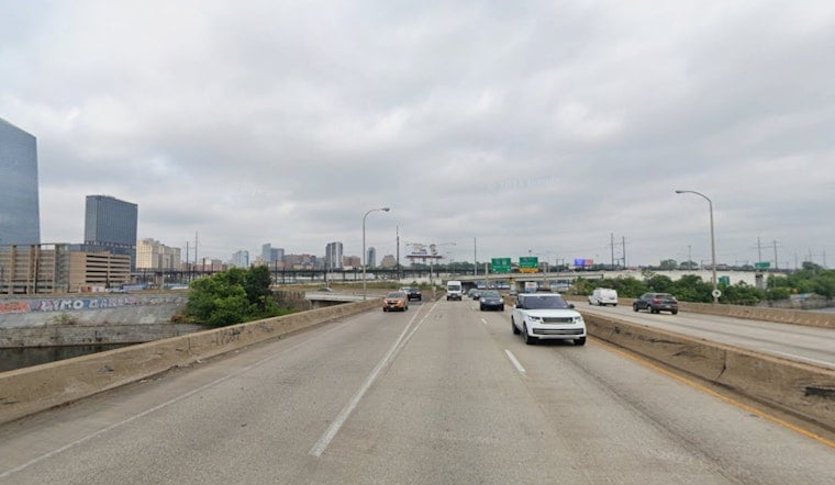
Philadelphia woke up in a warm, sticky haze, with patchy fog and mist around the airport and temperatures lingering in the low 70s. The city should heat up into the upper 80s, with a high near 88°F, and the risk of showers and thunderstorms ramps up this afternoon, especially from about 2 p.m. to 6 p.m. Any storm that parks over already saturated ground could bring brief heavy downpours and isolated urban flooding, although most storms are expected to move through quickly.
Fog and the Morning Commute
That early patchy fog and low cloud deck should gradually lift through mid-morning, but not before it causes some headaches along I-95, the Schuylkill Expressway and near the airport, particularly in neighborhoods that picked up heavier rain earlier this week. The National Weather Service Mount Holly notes there is low confidence in exactly when the fog will clear, so building in some extra time for the morning drive or an early flight is a good idea. Some terminals along the I-95 corridor may briefly deal with lower flight ceilings and slower ground operations before conditions improve later in the morning.
Afternoon Storms and a Marginal Severe Risk
An isolated shower is possible in the early afternoon, but the better chance of rain arrives later. By late afternoon and into the evening, the probability of showers and thunderstorms climbs to around 30 to 40 percent. Forecasters have placed the region under a Marginal, or 1 out of 5, risk for severe storms today. That means a few storms could kick up gusty winds or small hail, but widespread severe weather is not expected. Heavy downpours may still cause brief street flooding and slick roads, so give yourself space to brake and steer clear of standing water.
Weekend Tides and Coastal Flooding
A light onshore flow this weekend, combined with rising astronomical tides tied to the new moon, brings the potential for minor tidal flooding along the Atlantic coast and Delaware Bay starting Saturday evening. The National Weather Service flagged tidal flooding as a key message this morning, on top of the earlier Flood Watch discussed in our earlier Flood Watch coverage. Low-lying riverfront streets and coastal access roads will be most at risk around the evening high tides, so move vehicles to higher ground and avoid parking overnight in those trouble spots.
Beach, Marine and Rip Current Notes
Down the shore, conditions look generally friendly for beachgoers, with wave heights around 1 to 2 feet and a LOW rip current risk advertised. A light onshore breeze Saturday evening could still nudge water into vulnerable inlets, especially around high tide. On the water, the marine forecast keeps conditions below small-craft-advisory levels through tonight, though boaters should continue to monitor local forecasts before heading out. If you plan to swim, keep an eye on posted beach advisories and stay away from jetties and river mouths when the tide is running higher.
Looking Ahead
The front is expected to clear the area by Saturday night, opening the door to drier, sunnier weather on Sunday with afternoon highs in the mid 80s. After that, guidance points to a warmer pattern, with the potential for lower to mid 90s by Wednesday and Thursday of next week. Outdoor workers and event planners should start thinking about heat precautions now, and everyone should keep an eye on the daily forecast in case the timing of any lingering showers shifts.
Quick Safety Tips
Keep a light rain jacket handy and allow some extra time for afternoon errands or events, especially if you will be near the riverfront. Move cars off low-lying streets before the evening high tides and avoid driving through standing water, no matter how shallow it looks. Sign up for ReadyPhiladelphia alerts, call 311 if you need city assistance, keep your phone charged and stay tuned to local forecasts for any updates as the day unfolds.





