

























































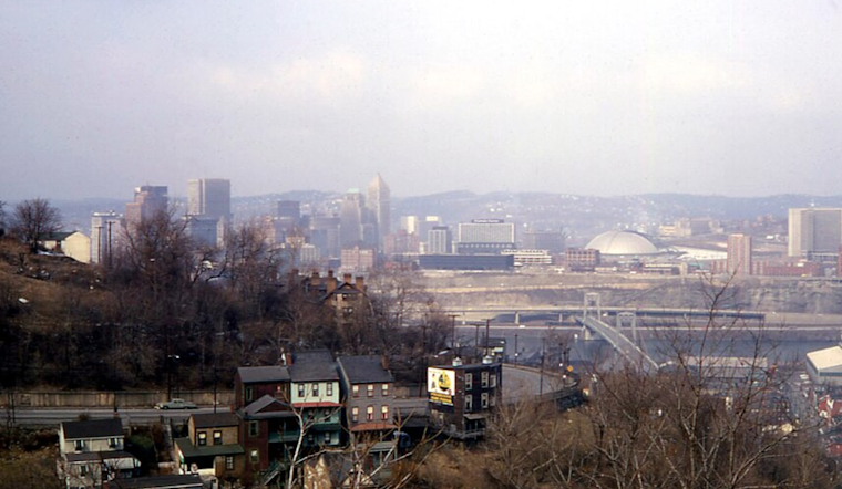
Fog and heavy humidity wrapped around Pittsburgh early Friday morning, July 10, 2026, with the KAGC observation showing about 72°F at 5:35 AM EDT and visibility reduced in the river valleys. A Flood Watch is in effect from 10 AM to 10 PM EDT Friday, with scattered showers and thunderstorms expected to fire up and potentially train over the same neighborhoods. The setup could trigger rapid street and creek flooding, so commuters should expect slowdowns and steer clear of any standing water during peak storm hours.
The National Weather Service issued the Flood Watch for the Pittsburgh metro and surrounding counties, warning that excessive runoff may result in flooding of rivers, creeks, streams, and other low-lying and flood-prone locations. NWS Pittsburgh has the full watch details and county map.
Timing And Impacts
Showers and a few thunderstorms are possible this morning, with coverage expected to ramp up through the afternoon and early evening. Forecast guidance flags the risk of slow-moving or training storms that can dump heavy rain over the same spots in a short window. Highs should top out near 85°F, and winds look light between storms, although individual cells could kick out brief strong gusts and knock down a few branches. This keeps a soggy streak going for the region; for background and past incidents, check out our earlier flooding coverage.
Safety And Commute Notes
Drivers are urged to avoid plowing through pooled water on roads. The old rule still applies: turn around, don’t drown. If you can, move vehicles out of low-lying driveways or spots that tend to collect runoff. City crews are likely to stage barricades at chronic trouble areas and may be out clearing storm drains as cells roll through. For basic flood safety tips and resources, see the National Weather Service flood safety guide.
Looking Ahead
The surface boundary is expected to drift south on Saturday, July 11, leaving a lingering chance of scattered showers and storms through the day before drier weather returns on Sunday, July 12. A warmer, mostly dry stretch looks likely early next week, with highs climbing into the upper 80s to low 90s by Tuesday and Wednesday, July 14 to 15. Keep devices charged and weather alerts turned on through Friday night in case Flash Flood Warnings or other updates are issued.





