

























































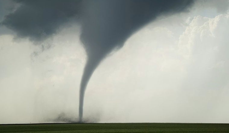
Yesterday afternoon turned tense in and around Newton Falls when the National Weather Service issued a tornado warning for parts of southeastern Portage County and northwestern Mahoning County. Radar had detected possible rotation near Newton Falls, and the alert, focused mostly on rural stretches, warned that mobile homes, roofs and trees could take a hit if a tornado developed and touched down.
According to Cleveland.com, the warning went out at about 1:20 p.m., when the storm was estimated to be roughly 8 miles southwest of Newton Falls and moving east at around 15 mph. Cleveland.com reported that the alert was slated to remain in effect until 2 p.m. yesterday.
What Officials Advised
The National Weather Service office in Cleveland did not mince words, urging residents to take cover and move to a basement or interior room, warning that flying debris could be dangerous for anyone caught without shelter, per the National Weather Service. Forecasters said radar was indicating possible rotation and warned that mobile homes could be damaged or destroyed if the storm intensified.
Where The Threat Was Focused
Cleveland.com noted that the warning zone covered mainly rural parts of southeastern Portage and northwestern Mahoning counties, including the small communities of North Jackson and Craig Beach. The storm was also tracked near Ravenna as it pushed east, officials said.
How To Stay Safe
Portage County officials remind residents that Ohio’s peak tornado season runs from April through July and stress the importance of having a designated shelter space and a battery-powered radio on hand, according to Portage County's preparedness guide. People in the warning area are urged to stick with official channels and local emergency alerts until storms fully clear the region.



