

























































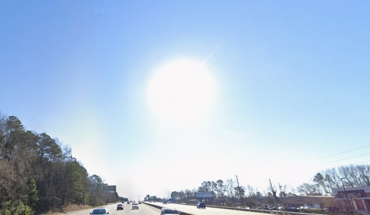
Tuesday morning in Raleigh is starting off mostly clear and sticky, with temperatures hovering around 70°F at Raleigh–Durham International Airport. Skies stay mostly sunny this afternoon, and the high should land near 88°F with a light northeast breeze. Enjoy it while you can, because a sharp warm-up barrels in starting Wednesday.
Heat Builds Wednesday Through Sunday
By Wednesday, highs leap into the mid-90s, then crank up even more Thursday through the weekend, with temperatures pushing into the upper 90s and low 100s. Friday and Saturday look like the real troublemakers, featuring widespread mid to upper 90s, some spots topping 100°F, and heat-index values running between 102 and 108°F. Overnight lows only fall into the muggy mid-70s, so there will be little relief after dark. This outlook comes from the National Weather Service.
Weekend Storm Chances
Rain chances stay on the low side while a ridge holds overhead, but they start to tick up late in the weekend as a weak front noses in. Saturday afternoon carries around a 30% chance of scattered showers and thunderstorms, and by Sunday coverage climbs closer to 50%. Any storms that do bubble up could bring brief heavy downpours and lightning and will be hit-or-miss, so no one should count on them to break the heat across the whole area.
How To Stay Safe
Try to schedule heavy outdoor work or exercise for the coolest parts of the day, keep water handy, and check in on older adults, young children and pets as the heat and humidity ramp up. For tips, cooling options and local resources during extreme heat, see the City of Raleigh heat guidance.



