

























































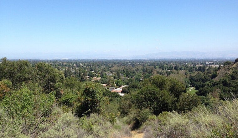
San Jose rolled in today with mostly clear skies and mid-60s at Mineta San Jose International, but inland neighborhoods are on track for a serious afternoon warmup. Valley highs are expected to reach 90 to 92°F, with limited cooling overnight. A Heat Advisory is in place today from 10 AM to 10 PM. Residents are urged to push strenuous outdoor activities to the cooler hours and keep water handy.
Afternoon Heat And Gusty Winds
Forecasters are calling for widespread 90s inland, with a few hotter pockets possibly edging into the low 100s, along with northwest winds gusting around 20 mph this afternoon. The most intense heat is expected from late morning into early evening, while coastal and bayfront neighborhoods should stay noticeably cooler. Overnight lows will only drop into the low to mid-60s, offering little relief for anyone without air conditioning, according to the National Weather Service.
Where To Cool Off
For residents without reliable AC, Santa Clara County keeps listings of public cooling centers and heat safety resources, including libraries and community centers that open during high-heat events. Bring water, avoid heavy outdoor chores during peak afternoon temperatures, and check hours before you head out, since sites can change during a heat event. Hot-weather guidance, locations and updates from local partners are available through the County Office of Emergency Management.
Outdoor Workers And Safety Tips
For anyone working outside, experts recommend shifting the hardest jobs to early morning or evening, taking frequent shaded breaks and drinking water regularly. Employers and supervisors are encouraged to build in extra rest periods and to monitor crews for signs of heat illness. If someone starts showing confusion, faints or has other signs of heat stroke, call 911 and move them to a cooler place immediately.
Short Term Outlook
The hot stretch is expected to hang on through Wednesday before a cooling trend sets in on Thursday, with highs slipping back into the low 80s and a thicker marine layer returning along the coast. Breezy onshore winds are likely through Thursday afternoons, so gusty conditions in exposed hills and gaps are on the table. Forecasters suggest keeping an eye on updates as the week unfolds.





