

























































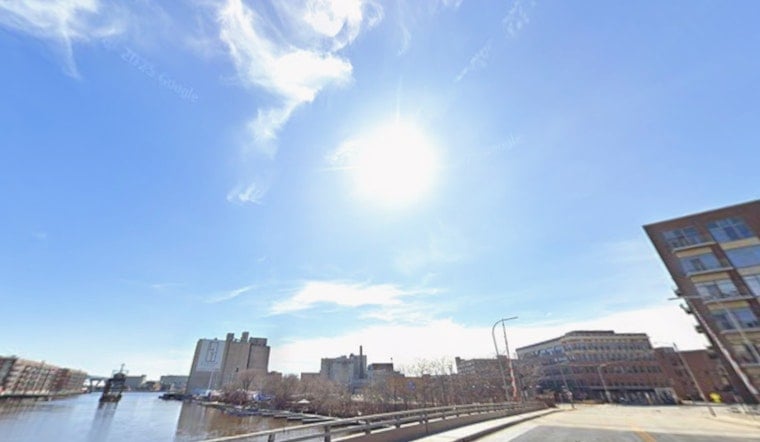
Milwaukee rolled into Saturday under a warm, swampy blanket of air, sitting around 81°F with a dew point near 72°F, and is expected to climb into the mid 80s this afternoon with some mostly sunny breaks. There is still a slight chance of a quick shower or a morning thunderstorm through late morning, but the bigger weekend worries are the return of wildfire smoke and increasingly hazardous conditions on Lake Michigan tonight and into Sunday morning.
Afternoon Forecast
Temperatures should top out near 85°F, with readings slipping to around 80°F along the lakeshore once a northwest lake breeze kicks in. Winds will generally run about 5 to 10 mph, so inland neighborhoods will feel a bit hotter than spots near the water. You may want an umbrella handy early in the day, but by midday the trend is toward mostly sunny, warm conditions.
Beach Hazards Tonight
According to the National Weather Service Milwaukee/Sullivan, a Beach Hazards Statement is in effect for the southern Wisconsin lakeshore from Saturday evening into Sunday morning, with life-threatening waves of 3 to 5 feet and dangerous currents expected. The advice is simple: stay out of the water and away from piers or breakwalls, since strong longshore currents, structural currents and rip currents are likely. Small Craft Advisories are also possible Saturday night between Sheboygan and Winthrop Harbor, so boaters should plan to keep vessels ashore until conditions settle down.
Smoke And Air Quality
Wildfire smoke is expected to drift back into the area late Saturday and linger into Sunday, cutting visibility and pushing particulate pollution into unhealthy ranges in parts of the metro. The City of Milwaukee has already paused some non-emergency outdoor work and is urging residents to limit time outside, run air conditioners on recirculate and consider wearing N95 masks if they need to be outdoors. For more context on the multi-day smoke event, see smoky skies choke Milwaukee.
Looking Ahead
Sunday should ease up a bit, with highs near 77°F and lighter east to northeast winds as high pressure moves in and the smoke helps limit mixing. The next round of active weather arrives Monday, when showers and numerous thunderstorms, possibly severe in some spots, become more likely, especially Monday night. Localized rainfall totals up to about a half inch are possible. Anyone planning outdoor events early next week should keep an eye on the NWS for updated timing and storm details.
Weekend Tips
Skip the swim or boat ride along Lake Michigan until the Beach Hazards Statement expires, and follow any posted beach closures or lifeguard directions to the letter. If you can see or smell smoke where you are, dial back strenuous outdoor activity, check AirNow or local sensor networks before exercising outside, and stick with city guidance on service changes and any related closures.





