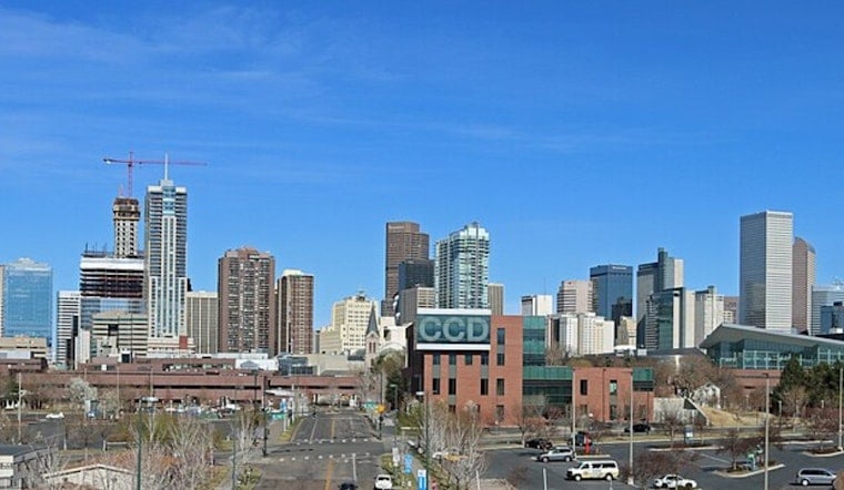
Denver woke up cool and gray on Thursday, July 2, with clouds and morning temperatures in the low 60s. By midday, though, the flip will be back to full summer. Sunny, hot conditions are expected to push highs into the low 90s while patchy smoke and gusty winds turn the afternoon hazy and boost fire danger across parts of the metro area.
Red Flag Warning This Afternoon
A Red Flag Warning is in effect from noon to 8 p.m. MDT on Thursday, July 2, for parts of the southern foothills and South Park (fire zone COZ214). Forecasters say South Park could see gusts near 30 mph with relative humidity dropping into the single digits, creating critical fire weather conditions. According to NWS Denver/Boulder, residents in the warned area should skip outdoor burning and keep fireworks packed away.
What To Expect Today
Patchy smoke is likely after about 8 a.m., with light south winds around 3 to 9 mph early in the day and temperatures climbing to about 94°F before easing a bit later in the afternoon. Most of the metro will stay mostly sunny, and overnight lows will slide back into the low 60s.
The smoky haze could knock down visibility at times, especially later in the day. Plan for a little extra travel time in the afternoon and think twice about strenuous outdoor exercise if you have breathing issues.
Spotty Storms East Of The City
A surface boundary near the Palmer Divide may fire up isolated showers and storms this afternoon and evening, mainly over the eastern plains, including Elbert, Washington, and Lincoln counties, rather than over downtown Denver. A few of those storms could become strong to severe, with the potential for large hail and damaging winds, and there is a small chance for landspout tornadoes along boundaries.
Storm chances in metro Denver stay low, but anyone heading out onto the plains should keep an eye on conditions and check radar through the afternoon and evening.
Plan Ahead For The Holiday
With gusty, dry winds and smoke in the mix, any spark could spread quickly. Avoid open burning, secure grills, and hold off on informal fireworks in or near the warned areas.
For more on the ongoing smoke and local guidance, see yesterday's smoke and heat breakdown, as per Hoodline. Temperatures are expected to hover in the low 90s into the weekend, with a higher chance for scattered storms on Sunday and early next week that could affect Independence Day activities.


