

























































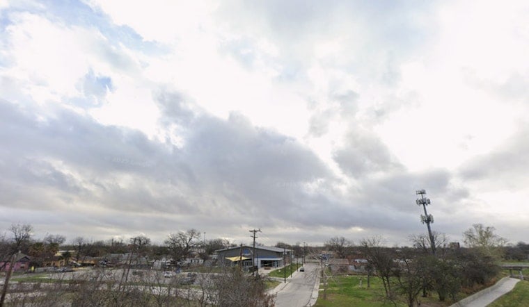
San Antonio woke up Thursday to a murky mix of light rain, fog and swampy humidity, with temperatures hovering near 79°F just after 5 a.m. CDT on July 16, 2026. The soggy setup is not going anywhere fast. Showers and thunderstorms are likely through the afternoon, and a Flood Watch remains in effect for the region. Southeast winds should run around 5 to 10 mph with gusts near 20 mph, and highs are expected to top out near 86°F. The big worry today is sudden urban and creek flooding when the heavier downpours roll through.
Flash Flood Threat
The National Weather Service warns that flood risk could be severe across parts of south-central Texas, with 2 to 6 inches of rain possible across much of the watch area and isolated pockets of 10 to 15 inches in the southern Edwards Plateau, Rio Grande Plains and along the U.S. 90 corridor west of San Antonio. That is more than enough to trigger life-threatening flash flooding. For the technical breakdown and the latest thinking on the flood threat, see the National Weather Service. With soils already saturated from recent storms, even brief bursts of extreme rain can send creeks and rivers up in a hurry.
Local Impacts And City Response
Crews are still dealing with the aftermath of a tornado that touched down in northwest San Antonio on Wednesday, continuing cleanup and damage assessments, including at the Oasis Apartments at 6023 UTSA Blvd. The City of San Antonio reports no injuries, has barricaded 20 low-water crossings and is working to remove downed trees. Residents are urged to steer clear of damaged areas and flooded roads. National reporting describes high-water rescues and evacuations across parts of South Texas as rivers and creeks rise, underscoring the wider regional risk. If you need help with storm damage or debris, the city advises calling 3-1-1 or visiting its flood information page.
Timing And The Commute
Showers and thunderstorms are most likely before 4 p.m., with only a chance of storms tonight. Expect a mostly cloudy sky and a high near 86°F this afternoon. The local forecast keeps rain chances elevated and flags the potential for quick-hitting downpours that can slash visibility and flood streets in minutes. Southeast winds will stay on the light to moderate side, with gusts up to about 20 mph, but you can expect brief stronger gusts around any heavier cells. Plan extra travel time and avoid water-covered or barricaded routes while the watch remains in place. For hour-by-hour details, check the National Weather Service.
How To Stay Safe
Do not drive through standing or flowing water. Just a few inches can stall a car, and deeper, faster water can sweep vehicles away. If you live in a low-lying spot, have a plan to move to higher ground, keep phones charged and alert-ready, and move important items off the floor. For clear step-by-step guidance on flooding safety, see the National Weather Service. Avoid unnecessary trips while flood-related watches and warnings are in effect, and follow barricades and all directions from local officials.





